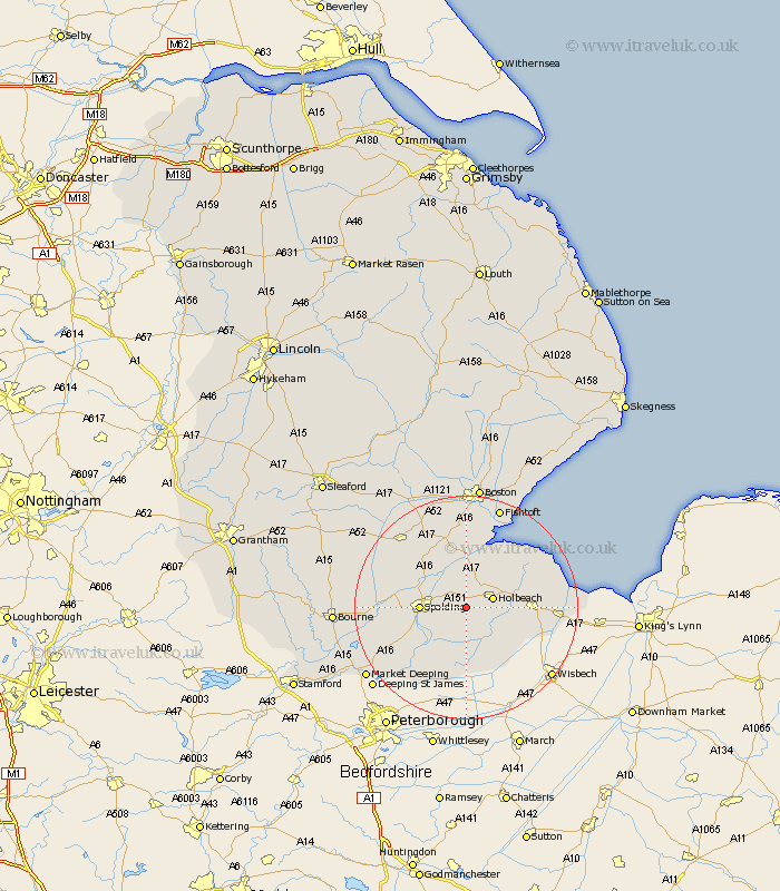
Lincolnshire Map Showing Location of Moulton
Population: 3073
District: South Holland
Easting: 531500 Northing: 322455
Latitude: 52.78 Longitude: -0.05
 = Moulton
District: South Holland
Easting: 531500 Northing: 322455
Latitude: 52.78 Longitude: -0.05
= Moulton
This Moulton map below is supplied by Google. Use the tools in the top left corner to zoom into street level or zoom out for a road map, you may also need to zoom in to see Moulton on the map. Click and drag the map to move around. If the map fails to load try and refresh your browser or zoom in or out (+ or -).
Update - it seems Google no longer allow people to use their maps for free! This Moulton map sometimes loads and sometimes gives a error. I am working on a solution.
Closest 30 Towns or Cities to Moulton (Population over 500)
Whaplode 1.12km Weston 2.17km Holbeach 4.85km Pinchbeck 6.98km Cowbit 7.14km Fleet 7.85km Spalding 7.85km Surfleet 7.89km Sutton St James 9.62km Sutton St. James 9.62km Sutton Saint James 9.62km Gosberton 10.01km Gedney 10.09km Lutton 11.36km Quadring 12.14km Long Sutton 12.33km Deeping St Nicholas 12.52km Deeping Saint Nicholas 12.52km Deeping St. Nicholas 12.52km Gedney Hill 13.16km Godney Hill 13.16km Sutterton 13.17km Leverington 14.13km Croyland 14.61km Crowland 14.61km Kirton 14.83km Frampton 15km Tydd 15.6km Tydd Saint Mary 15.6km Tydd St Mary 15.6km