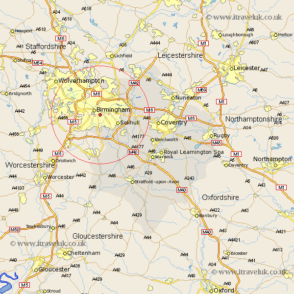
Warwickshire Map Showing Location of Moseley
District: Birmingham
Easting: 407928 Northing: 283607
Latitude: 52.45 Longitude: -1.88
 = Moseley
Easting: 407928 Northing: 283607
Latitude: 52.45 Longitude: -1.88
= Moseley
This Moseley map below is supplied by Google. Use the tools in the top left corner to zoom into street level or zoom out for a road map, you may also need to zoom in to see Moseley on the map. Click and drag the map to move around. If the map fails to load try and refresh your browser or zoom in or out (+ or -).
Update - it seems Google no longer allow people to use their maps for free! This Moseley map sometimes loads and sometimes gives a error. I am working on a solution.
Closest 30 Towns or Cities to Moseley (Population over 500)
Birmingham 2.92km Solihull 7.72km Castle Bromwich 8.76km Bickenhill 11.29km Water Orton 11.58km Knowle 12.59km Hampton in Arden 12.97km Coleshill 13.6km Sutton Coldfield 13.74km Lapworth 15.82km Temple Balsall 16.43km Ullenhall 17.28km Kingsbury 17.52km Shustoke 17.82km Berkeswell 17.84km Berkswell 17.84km Middleton 17.96km Meriden 18.17km Nether Whitacre 18.31km Rowington 19.35km Henley in Arden 20.16km Hurley 20.25km Studley 20.38km Fillongley 20.41km Arley 21.07km Shrewley 22.24km Corley 22.59km Coventry 22.9km Allesley 22.9km Hatton 23km