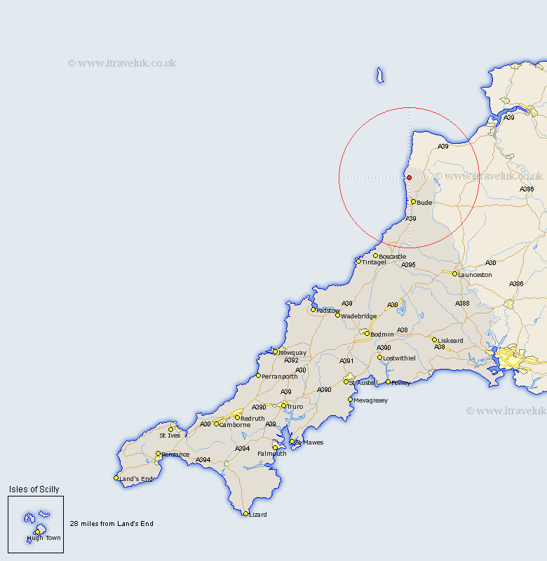
Cornwall Map Showing Location of Moorwinstow
Population: 768
District: North Cornwall
Easting: 220712 Northing: 114327
Latitude: 50.9 Longitude: -4.55
 = Moorwinstow
District: North Cornwall
Easting: 220712 Northing: 114327
Latitude: 50.9 Longitude: -4.55
= Moorwinstow
This Moorwinstow map below is supplied by Google. Use the tools in the top left corner to zoom into street level or zoom out for a road map, you may also need to zoom in to see Moorwinstow on the map. Click and drag the map to move around. If the map fails to load try and refresh your browser or zoom in or out (+ or -).
Update - it seems Google no longer allow people to use their maps for free! This Moorwinstow map sometimes loads and sometimes gives a error. I am working on a solution.
Closest 30 Towns or Cities to Moorwinstow (Population over 500)
Kilkhampton 5.03km Bude 7.51km Markhamchurch 11.36km Marhamchurch 11.36km Pounstock 14.82km Poundstock 14.82km North Petherwin 25.45km Forrabury 26.79km Tintagel 29.51km Launceston 32.34km Camelford 32.87km Altarnun 33.38km South Petherwin 33.61km Lewannick 34.35km Lezant 37.92km North Hill 39.78km Linkinhorne 42.77km Blisland 43.64km Cardinham 46.87km Cardingham 46.87km Wadebridge 47.06km Callington 47.84km Padstow 48.9km Bodmin 49.59km Dobwalls 50.09km Liskeard 50.53km St Issey 51.43km Saint Issey 51.43km St. Issey 51.43km St. Merryn 51.74km