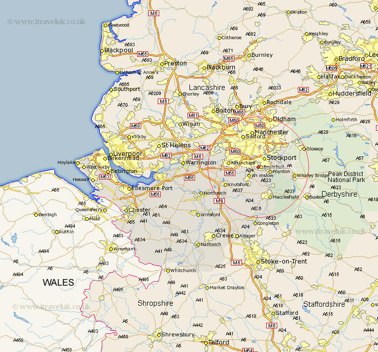
Cheshire Map Showing Location of Cheadle Hulme
District: Stockport
Easting: 387802 Northing: 385582
Latitude: 53.37 Longitude: -2.18
 = Cheadle Hulme
Easting: 387802 Northing: 385582
Latitude: 53.37 Longitude: -2.18
= Cheadle Hulme
This Cheadle Hulme map below is supplied by Google. Use the tools in the top left corner to zoom into street level or zoom out for a road map, you may also need to zoom in to see Cheadle Hulme on the map. Click and drag the map to move around. If the map fails to load try and refresh your browser or zoom in or out (+ or -).
Update - it seems Google no longer allow people to use their maps for free! This Cheadle Hulme map sometimes loads and sometimes gives a error. I am working on a solution.
Closest 30 Towns or Cities to Cheadle Hulme (Population over 500)
Bramhall 1.1km Stockport 4.31km Cheadle 4.31km Hazel Grove 4.79km Poynton 4.8km Wilmslow 4.98km Adlington 6.48km Bredbury 7.1km Disley 7.74km Alderley Edge 8.13km Marple 8.58km Romiley 8.65km Sale 9.53km Prestbury 9.53km Prestburg 9.53km Nether Alderley 9.85km Alderley 9.85km Bollington 9.95km Mobberley 10.45km Altrincham 11.21km Hyde 11.39km Rainow 12.08km Bowdon 12.16km Chelford 12.42km Macclesfield 13.71km Knutsford 14.26km Dukinfield 14.56km Stalybridge 15.09km Mere 15.93km Partington 16.44km