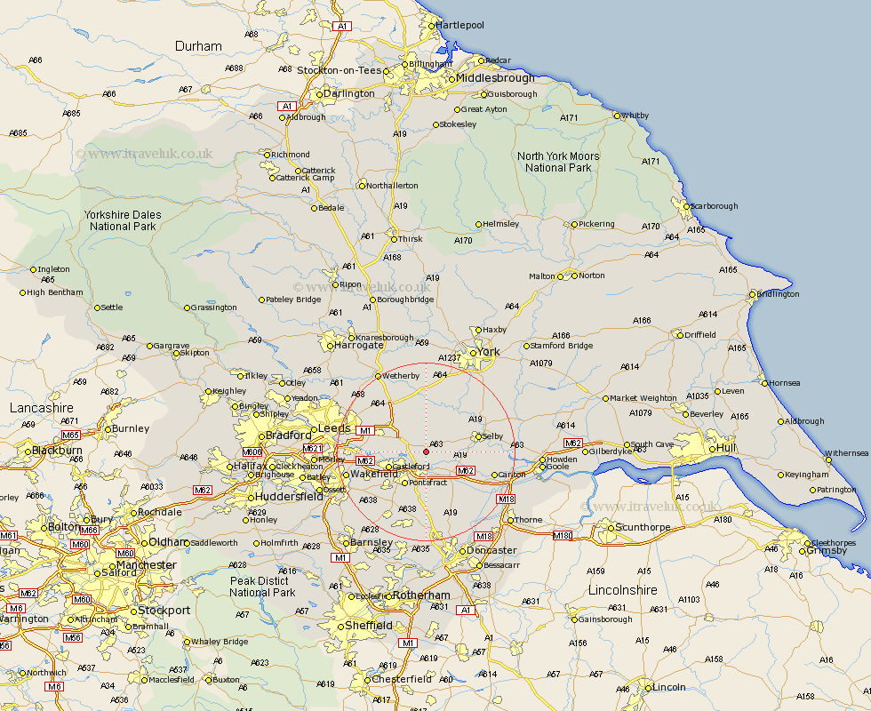
Yorkshire Map Showing Location of Monk Fryston
Population: 858
District: Selby
Easting: 450550 Northing: 428478
Latitude: 53.75 Longitude: -1.23
 = Monk Fryston
District: Selby
Easting: 450550 Northing: 428478
Latitude: 53.75 Longitude: -1.23
= Monk Fryston
This Monk Fryston map below is supplied by Google. Use the tools in the top left corner to zoom into street level or zoom out for a road map, you may also need to zoom in to see Monk Fryston on the map. Click and drag the map to move around. If the map fails to load try and refresh your browser or zoom in or out (+ or -).
Update - it seems Google no longer allow people to use their maps for free! This Monk Fryston map sometimes loads and sometimes gives a error. I am working on a solution.
Closest 30 Towns or Cities to Monk Fryston (Population over 500)
South Milford 2.16km Brotherton 4.3km Hambleton 4.76km Knottingley 5.56km Knottingly 5.56km Sherburn in Elmet 5.67km Sherburn 5.67km Church Fenton 7.5km Castleford 8.52km Micklefield 8.61km Pontefract 8.62km Kippax 8.96km Whitley 9.22km Darrington 9.33km Aberford 9.91km Brayton 10.03km Hensall 10.39km Featherstone 10.39km Garforth 10.53km Ulleskelf 11.17km Wistow 11.48km Selby 11.56km Cawood 12.02km Swillington 12.19km Ackworth 12.92km Ackworth Moor Top 12.92km High Ackworth 12.92km Normanton 13.28km Norton 13.39km Scholes 14.15km