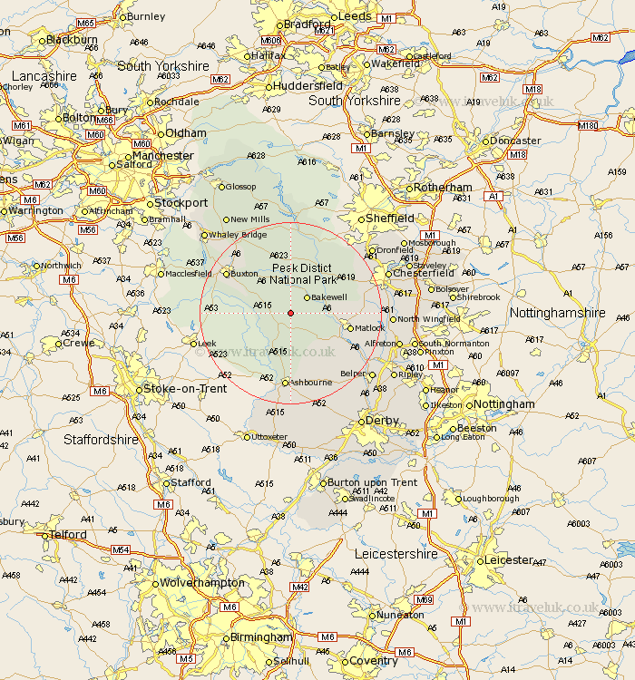
Derbyshire Map Showing Location of Middleton
Population: 723
District: Derbyshire Dales
Easting: 418939 Northing: 363356
Latitude: 53.17 Longitude: -1.72
 = Middleton
District: Derbyshire Dales
Easting: 418939 Northing: 363356
Latitude: 53.17 Longitude: -1.72
= Middleton
This Middleton map below is supplied by Google. Use the tools in the top left corner to zoom into street level or zoom out for a road map, you may also need to zoom in to see Middleton on the map. Click and drag the map to move around. If the map fails to load try and refresh your browser or zoom in or out (+ or -).
Update - it seems Google no longer allow people to use their maps for free! This Middleton map sometimes loads and sometimes gives a error. I am working on a solution.
Closest 30 Towns or Cities to Middleton (Population over 500)
Youlgreave 1.11km Bakewell 4.98km Winster 5.79km Great Longstone 7.49km Longstone 7.49km Darley Dale 7.78km Baslow 9.96km Brassington 10.29km Bonsall 10.49km Tideswell 11.61km Stoney Middleton 11.97km Stony Middleton 11.97km Cromford 12.45km Matlock Bath 12.73km Matlock 12.78km Eyam 13.39km Wirksworth 13.64km Tansley 13.84km Grindleford 14.1km Grindleford Bridge 14.1km Ashover 15.55km Old Brampton 16.22km Brampton 16.22km Buxton 16.22km Ashbourne 16.72km Bradwell 16.83km Hathersage 17.26km Walton 17.56km Crich 18.12km Holmesfield 18.58km