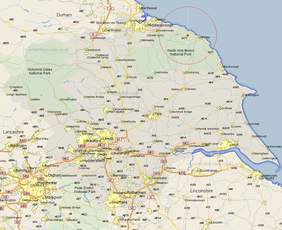
Yorkshire Map Showing Location of Mickleby
Population: 165
District: Scarborough
Easting: 480942 Northing: 512364
Latitude: 54.5 Longitude: -0.75
 = Mickleby
District: Scarborough
Easting: 480942 Northing: 512364
Latitude: 54.5 Longitude: -0.75
= Mickleby
This Mickleby map below is supplied by Google. Use the tools in the top left corner to zoom into street level or zoom out for a road map, you may also need to zoom in to see Mickleby on the map. Click and drag the map to move around. If the map fails to load try and refresh your browser or zoom in or out (+ or -).
Update - it seems Google no longer allow people to use their maps for free! This Mickleby map sometimes loads and sometimes gives a error. I am working on a solution.
Closest 30 Towns or Cities to Mickleby (Population over 500)
Hinderwell 3.86km Sleights 7.74km Whitby 7.85km Loftus 10.24km Hawsker 13.09km Brotton 13.96km Skelton 16.05km Skelton-in-Cleveland 16.05km Fylingdales 16.79km Saltburn 17.68km Saltburn by the Sea 17.68km Saltburn-by-the-Sea 17.68km Guisborough 19.71km Marske 20.1km Marske-by-the-Sea 20.1km Marske by the Sea 20.1km Eston 23.26km Redcar 23.26km Ingleby 23.8km Great Ayton 24.75km Middlebrough 26.85km Middlesborough 26.85km Middlesbrough 26.85km South Bank 26.85km South Bank-on-Tees 26.85km South Bank on Tees 26.85km South Bank in Normanby 26.85km Grangetown 27.41km Great Broughton 27.49km Cloughton 27.63km