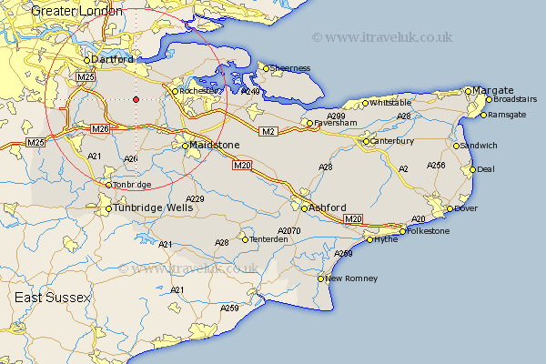
Kent Map Showing Location of Meopham
Population: 4821
Area Size (ha): 116
District: Gravesham
Easting: 564729 Northing: 165784
Latitude: 51.37 Longitude: 0.37
 = Meopham
Area Size (ha): 116
District: Gravesham
Easting: 564729 Northing: 165784
Latitude: 51.37 Longitude: 0.37
= Meopham
This Meopham map below is supplied by Google. Use the tools in the top left corner to zoom into street level or zoom out for a road map, you may also need to zoom in to see Meopham on the map. Click and drag the map to move around. If the map fails to load try and refresh your browser or zoom in or out (+ or -).
Update - it seems Google no longer allow people to use their maps for free! This Meopham map sometimes loads and sometimes gives a error. I am working on a solution.
Closest 30 Towns or Cities to Meopham (Population over 500)
Cobham 2.96km Hartley 3.47km Longfield 3.93km Ash 4.99km Southfleet 5.07km Ridley 5.08km Shorne 5.93km Cuxton 6.08km Snodland 7.24km Gravesend 7.41km Ryarsh 7.51km Northfleet 7.76km Wouldham 7.88km Swanscombe 8.18km Wrotham 8.19km Rochester 8.53km West Kingsdown 8.91km Offham 9.27km Stonewood 9.39km Strood 9.44km West Malling 9.55km Addington 9.56km Burham 9.83km Higham 10.15km Borough Green 10.37km Farningham 10.41km Chatham 10.57km Eynsford 10.58km Darenth 10.79km Kemsing 11.87km