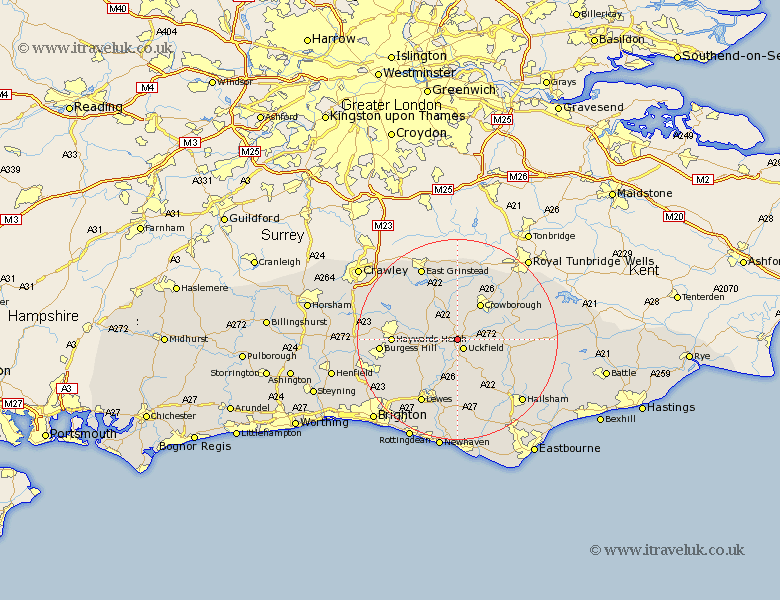
Sussex Map Showing Location of Maresfield
Population: 3282
District: Wealden
Easting: 546218 Northing: 122558
Latitude: 50.98 Longitude: 0.08
 = Maresfield
District: Wealden
Easting: 546218 Northing: 122558
Latitude: 50.98 Longitude: 0.08
= Maresfield
This Maresfield map below is supplied by Google. Use the tools in the top left corner to zoom into street level or zoom out for a road map, you may also need to zoom in to see Maresfield on the map. Click and drag the map to move around. If the map fails to load try and refresh your browser or zoom in or out (+ or -).
Update - it seems Google no longer allow people to use their maps for free! This Maresfield map sometimes loads and sometimes gives a error. I am working on a solution.
Closest 30 Towns or Cities to Maresfield (Population over 500)
Uckfield 2.18km Fletching 3.5km Buxted 3.5km Newick 5.02km Framfield 5.1km Isfield 5.68km Chailey 5.96km Hadlow Down 7km Horsted Keynes 7.92km Crowborough 8.76km East Hoathly 9.43km Barcombe Mills Station 9.9km Lindfield 10.66km Rotherfield 10.86km Ringmer 11.18km Hartfield 11.37km Chiddingly 11.61km Withyham 11.66km Laughton 11.66km Mayfield 11.81km Wivelsfield 12.24km Haywards Heath 12.83km Baywards Heath 12.83km Ardingly 12.92km Heathfield 13.36km Forest Row 13.79km Horam 13.83km Horeham 13.83km Plumpton 14.52km Lewes 14.74km