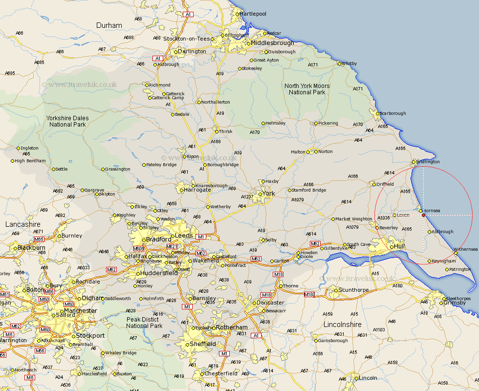
Yorkshire Map Showing Location of Mapleton
Population: 249
Easting: 521587 Northing: 444620
Latitude: 53.88 Longitude: -0.15
 = Mapleton
Easting: 521587 Northing: 444620
Latitude: 53.88 Longitude: -0.15
= Mapleton
This Mapleton map below is supplied by Google. Use the tools in the top left corner to zoom into street level or zoom out for a road map, you may also need to zoom in to see Mapleton on the map. Click and drag the map to move around. If the map fails to load try and refresh your browser or zoom in or out (+ or -).
Update - it seems Google no longer allow people to use their maps for free! This Mapleton map sometimes loads and sometimes gives a error. I am working on a solution.
Closest 30 Towns or Cities to Mapleton (Population over 500)
Hornsea 2.15km Aldbrough 7.72km Walkington 9.89km Skirlaugh Station 9.89km Dunnington 9.89km Skipsea 10.25km Brandesburton 10.51km Brandsburton 10.51km Leven 10.92km Sproatley 11.33km Beeford 12.01km Burton Pidsea 13.37km Preston 13.37km Tickton 15.41km Sutton 15.6km Sutton-on-Hull 15.6km Sutton on Hull 15.6km Wawne 16.06km Roos 16.21km Burstwick 16.71km Hedon 16.82km Woodmansey 17km Beverley 18.35km Hull 18.52km Thorngumbold 18.56km Thorngumbald 18.56km Cottingham 18.92km Paull 19.32km Leconfield 19.75km Leckonfield 19.75km