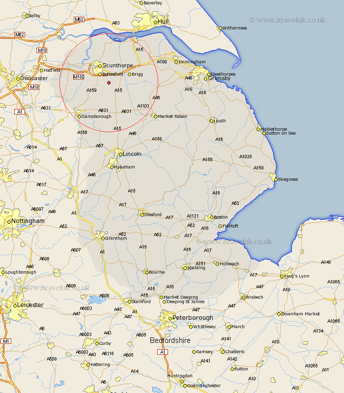
Lincolnshire Map Showing Location of Manton
Population: 112
Easting: 492817 Northing: 403164
Latitude: 53.52 Longitude: -0.6
 = Manton
Easting: 492817 Northing: 403164
Latitude: 53.52 Longitude: -0.6
= Manton
This Manton map below is supplied by Google. Use the tools in the top left corner to zoom into street level or zoom out for a road map, you may also need to zoom in to see Manton on the map. Click and drag the map to move around. If the map fails to load try and refresh your browser or zoom in or out (+ or -).
Update - it seems Google no longer allow people to use their maps for free! This Manton map sometimes loads and sometimes gives a error. I am working on a solution.
Closest 30 Towns or Cities to Manton (Population over 500)
Messingham 3.79km Scawby 4.78km Hibaldstow 4.78km Bottesford 4.96km Kirton in Lindsey 5.56km Kirton 5.56km Scotter 5.77km Broughton 6.47km Scotton 6.47km Scunthorpe 8.11km Brigg 8.55km Waddingham 9.24km Wrawby 10.42km West Butterwick 10.58km Appleby 11.34km Burringham 11.36km Gunhouse 11.51km Gunness 11.51km Owston 11.63km Owston Ferry 11.63km Blyton 12.07km South Kelsey 12.35km Flixborough 12.41km North Kelsey 12.68km Keadby 12.78km Epworth 14.32km Barnetby 14.34km Barnetby le Wold 14.34km Belton 14.79km Winterton 14.82km