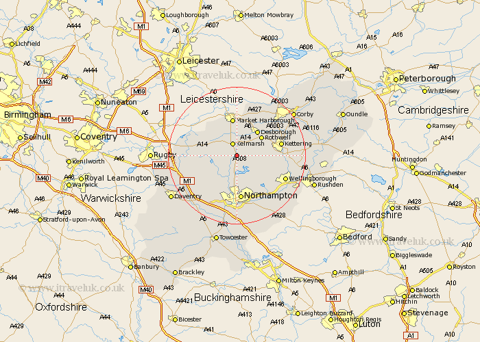
Northamptonshire Map Showing Location of Maidwell
Population: 325
District: Daventry
Easting: 474888 Northing: 274906
Latitude: 52.37 Longitude: -0.9
 = Maidwell
District: Daventry
Easting: 474888 Northing: 274906
Latitude: 52.37 Longitude: -0.9
= Maidwell
This Maidwell map below is supplied by Google. Use the tools in the top left corner to zoom into street level or zoom out for a road map, you may also need to zoom in to see Maidwell on the map. Click and drag the map to move around. If the map fails to load try and refresh your browser or zoom in or out (+ or -).
Update - it seems Google no longer allow people to use their maps for free! This Maidwell map sometimes loads and sometimes gives a error. I am working on a solution.
Closest 30 Towns or Cities to Maidwell (Population over 500)
Brixworth 5.56km Naseby 5.95km Clipston 6.51km Spratton 6.52km Walgrave 6.77km Pitsford 7.5km Guilsborough 7.74km Rowell 8.77km Rothwell 8.77km Broughton 9.05km Boughton 9.27km Desborough 9.32km Moulton 9.88km East Haddon 10.86km Overstone 10.87km Welford 11.6km West Haddon 11.91km Sywell 12.2km Kettering 12.98km Northampton 13.03km Long Buckby 13.54km Isham 13.71km Great Billing 14.16km Billing 14.16km Wilbarston 14.63km Yelvertoft 14.71km Wellingborough 15.48km Harpole 15.88km Burton Latimer 15.95km Crick 16.28km