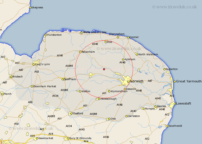
Norfolk Map Showing Location of Lyng
Population: 806
District: Breckland
Easting: 607103 Northing: 317676
Latitude: 52.72 Longitude: 1.07
 = Lyng
District: Breckland
Easting: 607103 Northing: 317676
Latitude: 52.72 Longitude: 1.07
= Lyng
This Lyng map below is supplied by Google. Use the tools in the top left corner to zoom into street level or zoom out for a road map, you may also need to zoom in to see Lyng on the map. Click and drag the map to move around. If the map fails to load try and refresh your browser or zoom in or out (+ or -).
Update - it seems Google no longer allow people to use their maps for free! This Lyng map sometimes loads and sometimes gives a error. I am working on a solution.
Closest 30 Towns or Cities to Lyng (Population over 500)
Bawdeswell 2.91km Witchingham 3.84km Reepham 5.01km Hockering 5.56km Mattishall 7.75km North Elmham 8.07km Foulham 8.13km Foulsham 8.13km Cawston 8.73km Taverham 9.63km East Dereham 9.72km Dereham 9.72km Yaxham 10.02km Beetley 10.1km Drayton 11.54km Hindolveston 11.62km Corpusty 11.99km Costessey 12.54km Horsford 12.9km Marsham 13.54km Hevingham 13.97km Aylsham 14.39km Mileham 14.71km Briston 14.82km Melton Constable 14.99km Mellon Constable 14.99km Ryburgh 15.02km Great Ryburgh 15.02km Horsham St. Faith 15.06km Horsham Saint Faith 15.06km