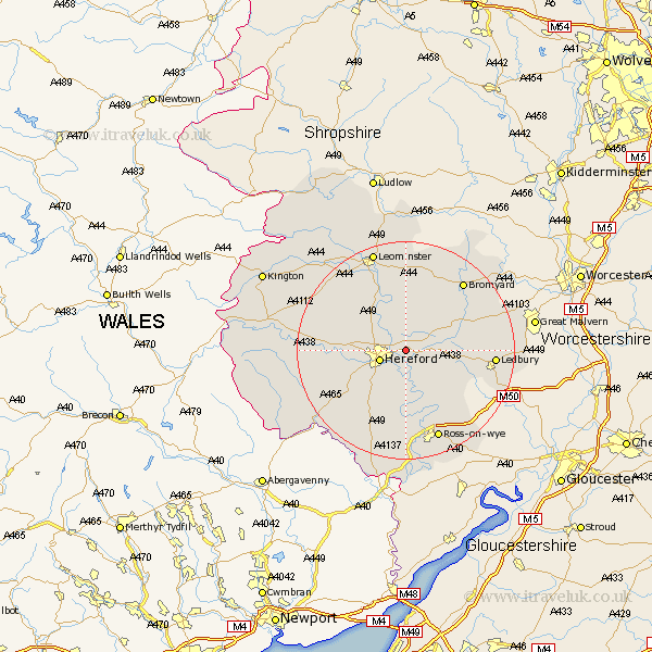
Herefordshire Map Showing Location of Lugwardine
Population: 1673
Easting: 355448 Northing: 241171
Latitude: 52.07 Longitude: -2.65
 = Lugwardine
Easting: 355448 Northing: 241171
Latitude: 52.07 Longitude: -2.65
= Lugwardine
This Lugwardine map below is supplied by Google. Use the tools in the top left corner to zoom into street level or zoom out for a road map, you may also need to zoom in to see Lugwardine on the map. Click and drag the map to move around. If the map fails to load try and refresh your browser or zoom in or out (+ or -).
Update - it seems Google no longer allow people to use their maps for free! This Lugwardine map sometimes loads and sometimes gives a error. I am working on a solution.
Closest 30 Towns or Cities to Lugwardine (Population over 500)
Lugwardine 0km Mordiford 2.18km Withington 3.87km Sutton 4.35km Hereford 4.92km Bullingham 5.88km Moreton 6.79km Moreton-on-Lugg 6.79km Moreton on Lugg 6.79km Fownhope 8.17km Burghill 8.79km Bodenham 9.54km Wellington 10.07km Allensmore 10.68km Credenhill 10.9km Much Dewchurch 11.52km Much Birch 12.02km Much Marcle 12.66km Kingstone 13.72km Bosbury 13.79km Madley 14.17km Upton Bishop 15.86km Ledbury 16.06km Bromyard 16.52km Ross 17.63km Ross-on-wye 17.63km Ross on Wye 17.63km Colwall 18.32km Weston under Penyard 18.49km Weston-under-Penyard 18.49km