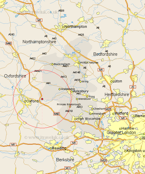
Buckinghamshire Map Showing Location of Ludgershall
Population: 402
District: Aylesbury Vale
Easting: 463249 Northing: 208005
Latitude: 51.77 Longitude: -1.08
 = Ludgershall
District: Aylesbury Vale
Easting: 463249 Northing: 208005
Latitude: 51.77 Longitude: -1.08
= Ludgershall
This Ludgershall map below is supplied by Google. Use the tools in the top left corner to zoom into street level or zoom out for a road map, you may also need to zoom in to see Ludgershall on the map. Click and drag the map to move around. If the map fails to load try and refresh your browser or zoom in or out (+ or -).
Update - it seems Google no longer allow people to use their maps for free! This Ludgershall map sometimes loads and sometimes gives a error. I am working on a solution.
Closest 30 Towns or Cities to Ludgershall (Population over 500)
Worminghall 1.15km Warminghall 1.15km Oakley 3.88km Brill 6.01km Long Crendon 6.88km Chearsley 9.18km Haddenham 11.47km Cuddington 11.61km Grendon Underwood 12.51km Waddesdon 13.65km Marsh Gibbon 15km Bledlow 15.92km Quainton 15.96km Stone 16.47km Longwick 16.49km Radnage 17.57km Stokenchurch 18.11km Twyford 18.84km Princes Risborough 19.18km North Marston 19.74km Steeple Claydon 19.76km Claydon 19.76km Kimble 19.85km Great Kimble 19.85km Aylesbury 20.26km Stoke Mandeville 20.72km Ellesborough 20.73km Whitechurch 21.52km Whitchurch 21.52km Lane End 22.39km