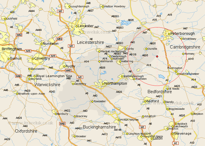
Northamptonshire Map Showing Location of Luddington
Population: 50
District: East Northamptonshire
Easting: 511028 Northing: 282998
Latitude: 52.43 Longitude: -0.37
 = Luddington
District: East Northamptonshire
Easting: 511028 Northing: 282998
Latitude: 52.43 Longitude: -0.37
= Luddington
This Luddington map below is supplied by Google. Use the tools in the top left corner to zoom into street level or zoom out for a road map, you may also need to zoom in to see Luddington on the map. Click and drag the map to move around. If the map fails to load try and refresh your browser or zoom in or out (+ or -).
Update - it seems Google no longer allow people to use their maps for free! This Luddington map sometimes loads and sometimes gives a error. I am working on a solution.
Closest 30 Towns or Cities to Luddington (Population over 500)
Warmington 7.75km Titchmarsh 8.74km Oundle 8.76km Thrapston 11.89km Islip 12.6km Nassington 13.41km Woodford 15.46km Ringstead 15.51km Raunds 15.86km Brigstock 15.92km Kings Cliffe 17.36km King's Cliffe 17.36km Stanwick 17.97km Weldon 18.9km Stanion 19.56km Irthlingborough 20.47km Higham Ferrers 20.88km Corby 21.07km Finedon 21.24km Geddington 21.47km Rushden 22.24km Burton Latimer 22.37km Gretton 23.16km Kettering 24.02km Isham 24.44km Caldecott 25.45km Irchester 25.91km Cottingham 26.56km Wellingborough 27.05km Broughton 28.13km