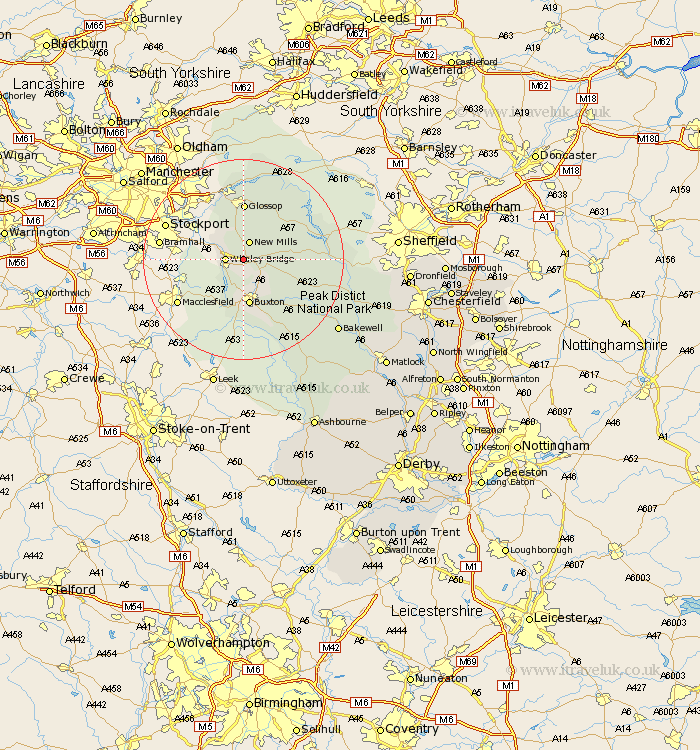
Derbyshire Map Showing Location of Chinley
District: High Peak
Easting: 404439 Northing: 381853
Latitude: 53.33 Longitude: -1.93
 = Chinley
Easting: 404439 Northing: 381853
Latitude: 53.33 Longitude: -1.93
= Chinley
This Chinley map below is supplied by Google. Use the tools in the top left corner to zoom into street level or zoom out for a road map, you may also need to zoom in to see Chinley on the map. Click and drag the map to move around. If the map fails to load try and refresh your browser or zoom in or out (+ or -).
Update - it seems Google no longer allow people to use their maps for free! This Chinley map sometimes loads and sometimes gives a error. I am working on a solution.
Closest 30 Towns or Cities to Chinley (Population over 500)
Chapel en le Frith 2.88km Whaley Bridge 3.32km New Mills 3.87km Hayfield 5.67km Buxton 9.33km Castleton 11.07km Glossop 11.5km Charlesworth 11.97km Hope 12.31km Bradwell 12.31km Tideswell 13.32km Tintwistle 15km Tintwhistle 15km Bamford 16.7km Eyam 18.57km Hathersage 18.91km Great Longstone 19.09km Longstone 19.09km Stoney Middleton 20.23km Stony Middleton 20.23km Grindleford Bridge 20.69km Grindleford 20.69km Bakewell 23.11km Middleton 23.47km Baslow 23.81km Youlgreave 24.17km Holmesfield 28.24km Darley Dale 28.9km Winster 29.16km Barlow 30.81km