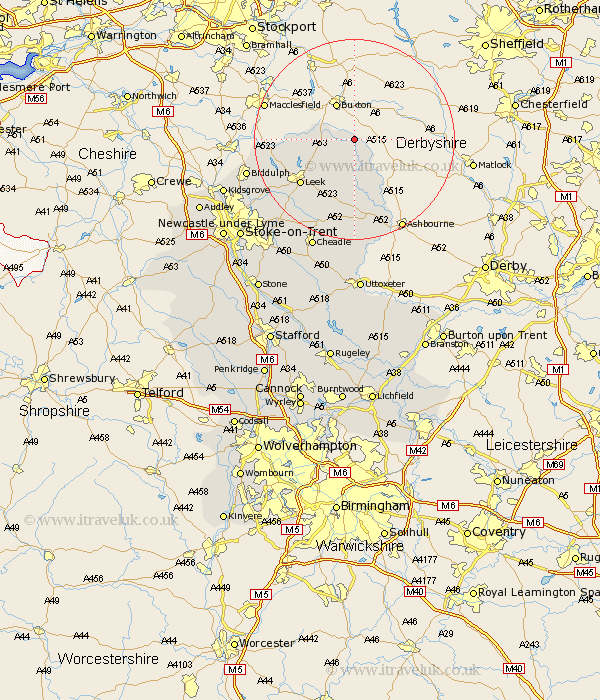
Staffordshire Map Showing Location of Longnor
Population: 360
District: Staffordshire Moorlands
Easting: 408909 Northing: 365173
Latitude: 53.18 Longitude: -1.87
 = Longnor
District: Staffordshire Moorlands
Easting: 408909 Northing: 365173
Latitude: 53.18 Longitude: -1.87
= Longnor
This Longnor map below is supplied by Google. Use the tools in the top left corner to zoom into street level or zoom out for a road map, you may also need to zoom in to see Longnor on the map. Click and drag the map to move around. If the map fails to load try and refresh your browser or zoom in or out (+ or -).
Update - it seems Google no longer allow people to use their maps for free! This Longnor map sometimes loads and sometimes gives a error. I am working on a solution.
Closest 30 Towns or Cities to Longnor (Population over 500)
Leek 13.63km Horton 16.24km Waterhouses 16.68km Ipstones 17.97km Cheddleton 18.53km Endon 20.04km Kingsley 20.09km Oakamoor 20.65km Biddulph 21.33km Mayfield 21.45km Cheadle 23.56km Alton 24.11km Denston 24.11km Denstone 24.11km Caverswall 25.94km Rocester 26.04km Draycott 26.53km Draycott in the Moors 26.53km Kidsgrove 26.87km Checkley 28.35km Fulford 29.18km Stoke-on-Trent 29.37km Stoke on Trent 29.37km Stoke-upon-Trent 29.37km Stoke 29.37km Stoke upon Trent 29.37km Leigh 30.39km Church Leigh 30.39km Uttoxeter 31.52km Newcastle under Lyme 31.86km