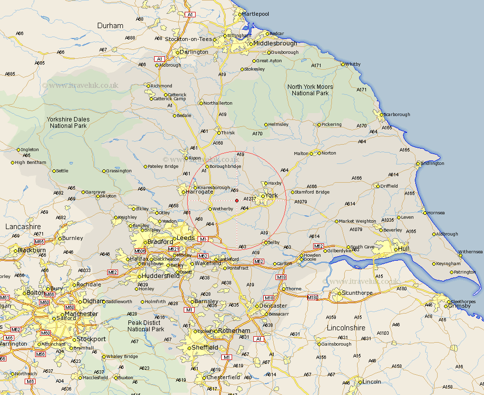
Yorkshire Map Showing Location of Long Marston
Population: 572
District: Harrogate
Easting: 450309 Northing: 450727
Latitude: 53.95 Longitude: -1.23
 = Long Marston
District: Harrogate
Easting: 450309 Northing: 450727
Latitude: 53.95 Longitude: -1.23
= Long Marston
This Long Marston map below is supplied by Google. Use the tools in the top left corner to zoom into street level or zoom out for a road map, you may also need to zoom in to see Long Marston on the map. Click and drag the map to move around. If the map fails to load try and refresh your browser or zoom in or out (+ or -).
Update - it seems Google no longer allow people to use their maps for free! This Long Marston map sometimes loads and sometimes gives a error. I am working on a solution.
Closest 30 Towns or Cities to Long Marston (Population over 500)
Rufforth 2.18km Hammerton 5.72km Kirk Hammerton 5.72km Poppleton 5.76km Upper Poppleton 5.76km Green Hammerton 7.07km Thorp Arch 7.52km Thorpe Arch 7.52km Copmanthorpe 7.52km Tadcaster 7.73km Skelton 8.58km Clifton 8.92km Bishopthorpe 8.92km Bishopthorne 8.92km Whixley 9.2km Linton upon Ouse 9.33km Linton-on-Ouse 9.33km Linton 9.33km Linton on Ouse 9.33km Newton upon Ouse 9.33km Newton 9.33km Boston Spa 9.45km York 9.99km Acaster Malbis 10.35km Wetherby 10.49km Bramham 10.65km Shipton 10.75km Ulleskelf 11.17km New Earswick 11.51km Collingham 12.25km