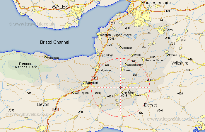
Somerset Map Showing Location of Long Load
Population: 334
District: South Somerset
Easting: 346208 Northing: 122629
Latitude: 51 Longitude: -2.77
 = Long Load
District: South Somerset
Easting: 346208 Northing: 122629
Latitude: 51 Longitude: -2.77
= Long Load
This Long Load map below is supplied by Google. Use the tools in the top left corner to zoom into street level or zoom out for a road map, you may also need to zoom in to see Long Load on the map. Click and drag the map to move around. If the map fails to load try and refresh your browser or zoom in or out (+ or -).
Update - it seems Google no longer allow people to use their maps for free! This Long Load map sometimes loads and sometimes gives a error. I am working on a solution.
Closest 30 Towns or Cities to Long Load (Population over 500)
Long Sutton 1.86km Kingsbury 2.98km Kingsbury Episcopi 2.98km Martock 3.88km Tintinhull 5.1km Somerton 5.68km Ilchester 5.83km Langport 5.95km South Petherton 6.03km Montacute 6.57km Yeovilton 7km High Ham 8.2km Curry Rivel 8.37km West Chinnock 9.34km Charlton Mackrell 10.19km Fivehead 10.5km Mudford 10.66km Yeovil 10.87km West Coker 10.95km Haselbury Plucknett 11.18km Compton 11.66km Ilton 11.88km Stoke St Gregory 12.23km Stoke Saint Gregory 12.23km Stoke St. Gregory 12.23km Othery 12.34km Butleigh 12.55km Ilminster 12.86km Queen Camel 12.96km Walton 12.98km