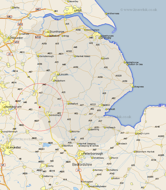
Lincolnshire Map Showing Location of Long Bennington
Population: 1843
District: South Kesteven
Easting: 483942 Northing: 341803
Latitude: 52.97 Longitude: -0.75
 = Long Bennington
District: South Kesteven
Easting: 483942 Northing: 341803
Latitude: 52.97 Longitude: -0.75
= Long Bennington
This Long Bennington map below is supplied by Google. Use the tools in the top left corner to zoom into street level or zoom out for a road map, you may also need to zoom in to see Long Bennington on the map. Click and drag the map to move around. If the map fails to load try and refresh your browser or zoom in or out (+ or -).
Update - it seems Google no longer allow people to use their maps for free! This Long Bennington map sometimes loads and sometimes gives a error. I am working on a solution.
Closest 30 Towns or Cities to Long Bennington (Population over 500)
Allington 4.33km Claypole 7.49km Great Gonerby 7.88km Barrowby 8.66km Belton 10.71km Grantham 10.78km Caythorpe 11.48km Harlaxton 11.98km Fulbeck 13.39km Ancaster 14.51km Welbourn 17.4km Ropsley 18.18km Bassingham 18.41km Cranwell 20.36km Colsterworth 20.58km Swinderby 20.65km Wellingore 20.73km Navenby 21.52km Aubourn 22.25km Sleaford 22.95km Heasingham 22.99km Leasingham 22.99km Brauncewell 23.12km Corby 24.26km Eagle 24.49km Thorpe 25.31km Thorpe-on-the-Hill 25.31km Thorpe on the Hill 25.31km Ruskington 25.63km Buskington 25.63km