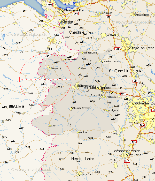
Shropshire Map Showing Location of Llanymynech
District: Oswestry
Easting: 326914 Northing: 319376
Latitude: 52.77 Longitude: -3.08
 = Llanymynech
Easting: 326914 Northing: 319376
Latitude: 52.77 Longitude: -3.08
= Llanymynech
This Llanymynech map below is supplied by Google. Use the tools in the top left corner to zoom into street level or zoom out for a road map, you may also need to zoom in to see Llanymynech on the map. Click and drag the map to move around. If the map fails to load try and refresh your browser or zoom in or out (+ or -).
Update - it seems Google no longer allow people to use their maps for free! This Llanymynech map sometimes loads and sometimes gives a error. I am working on a solution.
Closest 30 Towns or Cities to Llanymynech (Population over 500)
Pant 2.16km Llanyblodwel 3.84km Kinnerley 6.97km West Felton 8.72km Oswestry 9.85km Alberbury 10.56km St. Martins 11.06km Saint Martins 11.06km St Martins 11.06km Great Ness 12.33km Whittington 12.45km Westbury 12.91km Gobowen 13.39km Baschurch 14.69km Selattyn 14.82km Ford 16.66km Minsterley 17.95km Cockshutt 18.21km Cockshut 18.21km Bicton 18.33km Pontesbury 18.71km Hanwood 20.21km Great Hanwood 20.21km Chirbury 20.39km Chirburg 20.39km Ellesmere 21.42km Shelve 21.48km Welshampton 21.57km Loppington 23.02km Shrewsbury 24.21km