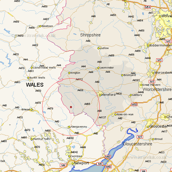
Herefordshire Map Showing Location of Llanveynoe
Population: 104
Easting: 331305 Northing: 230322
Latitude: 51.97 Longitude: -3
 = Llanveynoe
Easting: 331305 Northing: 230322
Latitude: 51.97 Longitude: -3
= Llanveynoe
This Llanveynoe map below is supplied by Google. Use the tools in the top left corner to zoom into street level or zoom out for a road map, you may also need to zoom in to see Llanveynoe on the map. Click and drag the map to move around. If the map fails to load try and refresh your browser or zoom in or out (+ or -).
Update - it seems Google no longer allow people to use their maps for free! This Llanveynoe map sometimes loads and sometimes gives a error. I am working on a solution.
Closest 30 Towns or Cities to Llanveynoe (Population over 500)
Peterchurch 8.16km Ewyas Harold 8.21km Madley 12.66km Kingstone 12.69km Allensmore 15.84km Clifford 16.32km Much Dewchurch 17.22km Eardisley 18.53km Much Birch 19.41km Broad Oak 19.49km Credenhill 20.17km Almeley 20.41km Bullingham 20.76km Hereford 21.49km Burghill 21.78km Moreton on Lugg 23.5km Moreton 23.5km Moreton-on-Lugg 23.5km Weobley 24.03km Wellington 25.21km Dilwyn 25.75km Kington 25.97km Lyonshall 25.97km Sutton 26.25km Lugwardine 26.41km Mordiford 26.75km Whitchurch 27.29km Fownhope 27.64km Goodrich 28.55km Pembridge 28.63km