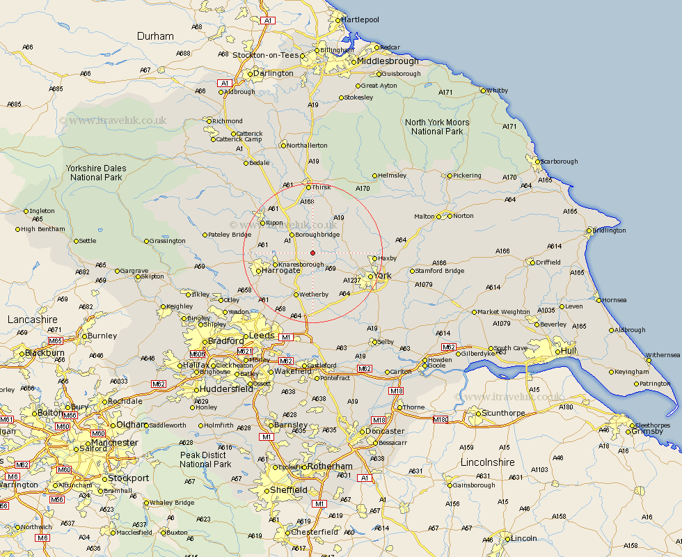
Yorkshire Map Showing Location of Little Ouseburn
Population: 226
District: Harrogate
Easting: 444751 Northing: 459938
Latitude: 54.03 Longitude: -1.32
 = Little Ouseburn
District: Harrogate
Easting: 444751 Northing: 459938
Latitude: 54.03 Longitude: -1.32
= Little Ouseburn
This Little Ouseburn map below is supplied by Google. Use the tools in the top left corner to zoom into street level or zoom out for a road map, you may also need to zoom in to see Little Ouseburn on the map. Click and drag the map to move around. If the map fails to load try and refresh your browser or zoom in or out (+ or -).
Update - it seems Google no longer allow people to use their maps for free! This Little Ouseburn map sometimes loads and sometimes gives a error. I am working on a solution.
Closest 30 Towns or Cities to Little Ouseburn (Population over 500)
Whixley 1.85km Ouseburn 1.86km Great Ouseburn 1.86km Green Hammerton 3.86km Linton-on-Ouse 4.35km Linton 4.35km Linton on Ouse 4.35km Linton upon Ouse 4.35km Marton 4.94km Marton le Moor 4.94km Kirk Hammerton 5.67km Hammerton 5.67km Newton upon Ouse 6.53km Newton 6.53km Tollerton 7.51km Boroughbridge 7.78km Alne 7.78km Knaresborough 10.48km Long Marston 10.75km Shipton 10.88km Raskelf 11.94km Easingwold 12km Rufforth 12km Burton Leonard 12.53km Skelton 12.54km Thorpe Arch 13.01km Thorp Arch 13.01km Upper Poppleton 13.17km Poppleton 13.17km Monkton 13.19km