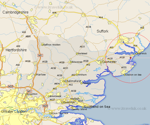
Essex Map Showing Location of Little Oakley
Population: 1294
District: Tendring
Easting: 622332 Northing: 229229
Latitude: 51.92 Longitude: 1.23
 = Little Oakley
District: Tendring
Easting: 622332 Northing: 229229
Latitude: 51.92 Longitude: 1.23
= Little Oakley
This Little Oakley map below is supplied by Google. Use the tools in the top left corner to zoom into street level or zoom out for a road map, you may also need to zoom in to see Little Oakley on the map. Click and drag the map to move around. If the map fails to load try and refresh your browser or zoom in or out (+ or -).
Update - it seems Google no longer allow people to use their maps for free! This Little Oakley map sometimes loads and sometimes gives a error. I am working on a solution.
Closest 30 Towns or Cities to Little Oakley (Population over 500)
Parkeston 2.17km Great Oakley 2.94km Harwich 5.88km Harwick 5.88km Wix 6.01km Walton-on-the-Naze 8.17km Walton on the Naze 8.17km Bradfield 8.21km Thorpe le Soken 8.71km Frinton 9.34km Frinton-on-Sea 9.34km Frinton on Sea 9.34km Mistley 10.45km Weeley 10.91km Little Clacton 13.07km Great Bentley 13.63km Lawford 13.84km Great Bromley 14.22km Clacton-on-Sea 15.52km Clacton on Sea 15.52km Clacton 15.52km Thorrington 15.6km St Osyth 16.57km Saint Osyth 16.57km St. Osyth 16.57km Ardleigh 17.15km Dedham 17.54km Alresford 18.69km Brightlingsea 18.9km Wyvenhoe 19.75km