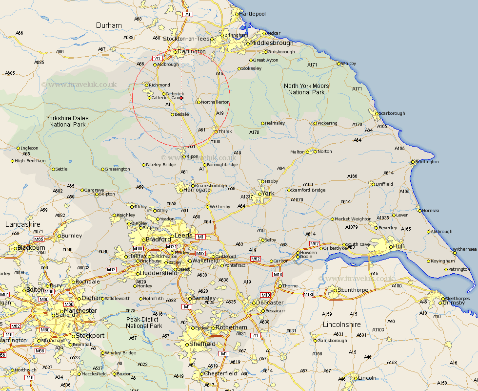
Yorkshire Map Showing Location of Little Langton
Population: 37
District: Hambleton
Easting: 430329 Northing: 495056
Latitude: 54.35 Longitude: -1.53
 = Little Langton
District: Hambleton
Easting: 430329 Northing: 495056
Latitude: 54.35 Longitude: -1.53
= Little Langton
This Little Langton map below is supplied by Google. Use the tools in the top left corner to zoom into street level or zoom out for a road map, you may also need to zoom in to see Little Langton on the map. Click and drag the map to move around. If the map fails to load try and refresh your browser or zoom in or out (+ or -).
Update - it seems Google no longer allow people to use their maps for free! This Little Langton map sometimes loads and sometimes gives a error. I am working on a solution.
Closest 30 Towns or Cities to Little Langton (Population over 500)
North Cowton 5.66km Scorton 5.69km Catterick 6.74km Northallerton 6.74km Cowton 7.42km East Cowton 7.42km Brompton 7.56km Crakehall 7.75km Bedale 8.09km Middleton Tyas 13.44km Richmond 14.1km Barton 15.01km Gilling 15.06km Osmotherley 15.23km Masham 16.64km West Tanfield 16.82km Tanfield 16.82km Melsonby 17.72km Leyburn 19.2km Thirsk 19.7km Whorlton 19.79km Middleham 19.82km Grewelthorpe 20.02km Topcliffe 20.94km Middleton upon Leven 21.59km Middleton 21.59km Kirkby Malzeard 21.74km Dishforth 23.49km Seamer 24.26km Stokesley 25.17km