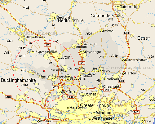
Hertfordshire Map Showing Location of Little Gaddesden
Population: 1124
District: Dacorum
Easting: 499974 Northing: 212305
Latitude: 51.8 Longitude: -0.55
 = Little Gaddesden
District: Dacorum
Easting: 499974 Northing: 212305
Latitude: 51.8 Longitude: -0.55
= Little Gaddesden
This Little Gaddesden map below is supplied by Google. Use the tools in the top left corner to zoom into street level or zoom out for a road map, you may also need to zoom in to see Little Gaddesden on the map. Click and drag the map to move around. If the map fails to load try and refresh your browser or zoom in or out (+ or -).
Update - it seems Google no longer allow people to use their maps for free! This Little Gaddesden map sometimes loads and sometimes gives a error. I am working on a solution.
Closest 30 Towns or Cities to Little Gaddesden (Population over 500)
Aldbury 3.44km Great Gaddesden 3.91km Northchurch 4.35km Berkhampstead 5.56km Berkhamsted 5.56km Wigginton 6.82km Tring 7.12km Markyatestreet 7.81km Markyate 7.81km Hemel Hempstead 7.99km Flamstead 8.23km Bovingdon 9.33km Redbourn 11.61km Chipperfield 12.03km Kings Langley 13.08km Harpenden 13.75km Sarratt 13.76km Abbots Langley 14.42km St. Albans 15.91km St Albans 15.91km Saint Albans 15.91km Chorleywood 17.3km Sandridge 17.59km Watford 18.07km Wheathampstead 18.34km Kimpton 19.15km Rickmansworth 19.4km Great Offley 19.74km Offley 19.74km Croxley Green 19.78km