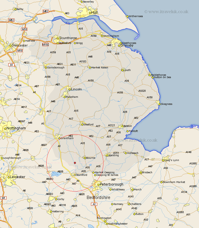
Lincolnshire Map Showing Location of Bytham
Population: 291
District: South Kesteven
Easting: 502397 Northing: 316190
Latitude: 52.73 Longitude: -0.48
 = Bytham
District: South Kesteven
Easting: 502397 Northing: 316190
Latitude: 52.73 Longitude: -0.48
= Bytham
This Bytham map below is supplied by Google. Use the tools in the top left corner to zoom into street level or zoom out for a road map, you may also need to zoom in to see Bytham on the map. Click and drag the map to move around. If the map fails to load try and refresh your browser or zoom in or out (+ or -).
Update - it seems Google no longer allow people to use their maps for free! This Bytham map sometimes loads and sometimes gives a error. I am working on a solution.
Closest 30 Towns or Cities to Bytham (Population over 500)
Castle Bytham 3.37km Bourne 7.69km Bourn 7.69km Corby 7.75km Thurlby 8.07km South Witham 9.17km Stamford 9.26km Morton 9.62km Baston 9.71km Uffington 10.3km Langfoft 10.76km Langtoft 10.76km Colsterworth 11.64km Rippingale 12.15km Market Deeping 14.4km Folkingham 15.86km Deeping St James 16.35km Deeping Saint James 16.35km Deeping St. James 16.35km Pointon 16.43km Ropsley 16.83km Deeping Saint Nicholas 19.17km Deeping St Nicholas 19.17km Deeping St. Nicholas 19.17km Billingborough 19.49km Harlaxton 20.02km Grantham 21.1km Spalding 22.02km Barrowby 22.9km Belton 23.58km