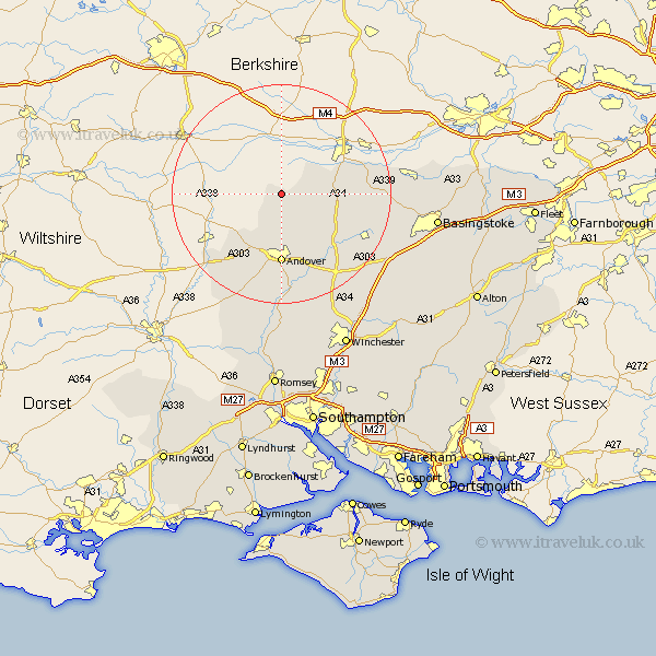
Hampshire Map Showing Location of Linkenholt
Population: 60
District: Test Valley
Easting: 436003 Northing: 157692
Latitude: 51.32 Longitude: -1.48
 = Linkenholt
District: Test Valley
Easting: 436003 Northing: 157692
Latitude: 51.32 Longitude: -1.48
= Linkenholt
This Linkenholt map below is supplied by Google. Use the tools in the top left corner to zoom into street level or zoom out for a road map, you may also need to zoom in to see Linkenholt on the map. Click and drag the map to move around. If the map fails to load try and refresh your browser or zoom in or out (+ or -).
Update - it seems Google no longer allow people to use their maps for free! This Linkenholt map sometimes loads and sometimes gives a error. I am working on a solution.
Closest 30 Towns or Cities to Linkenholt (Population over 500)
Vernham Dean 2.97km Vernhams Dean 2.97km East Woodhay 5.93km Hurstbourne Tarrant 6.02km Tangley 6.02km Highclere 10.59km Burghclere 11.58km Andover 12.98km Thruxton 14.72km Upper Clatford 14.83km Abbots Ann 15.01km Abbotts Ann 15.01km Ecchinswell 15.17km Whitchurch 15.25km Longparish 15.93km Kingsclere 16.22km Goodworth Clatford 16.68km Clatford 16.68km Lower Clatford 16.68km Barton Stacey 18.55km Overton 18.69km Chilbolton 18.86km Wonston 21.87km Over Wallop 21.95km Baughurst 22.08km Oakley 22.14km Nether Wallop 22.98km Stockbridge 24.1km North Waltham 24.58km Tadley 24.6km