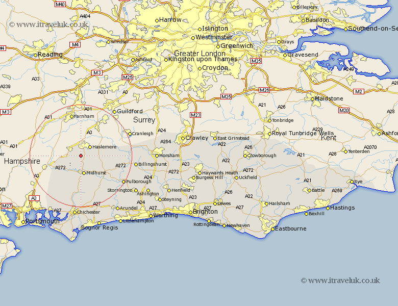
Sussex Map Showing Location of Linchmere
Population: 2225
District: Chichester
Easting: 487607 Northing: 128653
Latitude: 51.05 Longitude: -0.75
 = Linchmere
District: Chichester
Easting: 487607 Northing: 128653
Latitude: 51.05 Longitude: -0.75
= Linchmere
This Linchmere map below is supplied by Google. Use the tools in the top left corner to zoom into street level or zoom out for a road map, you may also need to zoom in to see Linchmere on the map. Click and drag the map to move around. If the map fails to load try and refresh your browser or zoom in or out (+ or -).
Update - it seems Google no longer allow people to use their maps for free! This Linchmere map sometimes loads and sometimes gives a error. I am working on a solution.
Closest 30 Towns or Cities to Linchmere (Population over 500)
Fernhurst 2.98km Lurgashall 6.91km Midhurst 7.5km Iping 7.77km Rogate 8.06km North Chapel 8.16km Northchapel 8.16km Tillington 11.92km East Harting 12.35km Plaistow 12.82km Petworth 12.85km Graffham 13.79km Kirdford 14.47km Loxwood 16.41km Fittleworth 16.98km Wisborough Green 17.87km Pulborough 19.76km Stoughton 19.82km Coldwaltham 19.96km Bury 21.05km Amberley 21.21km Billingshurst 21.3km Lavant 22.36km Boxgrove 22.36km Tangmere 22.36km Funtington 22.42km Rudgwick 22.81km Slindon 23.69km Walberton 24.12km Chichester 24.21km