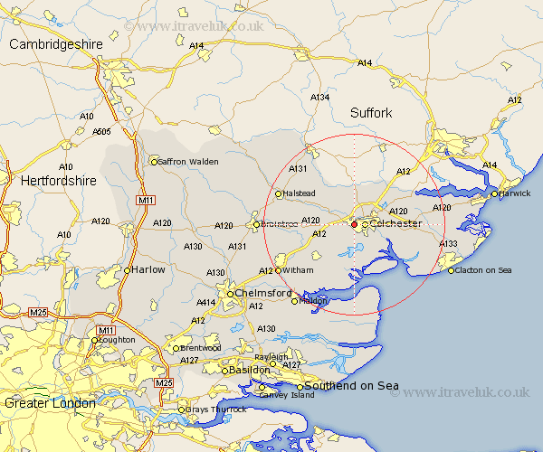
Essex Map Showing Location of Lexden
District: Colchester
Easting: 597271 Northing: 224459
Latitude: 51.88 Longitude: 0.87
 = Lexden
Easting: 597271 Northing: 224459
Latitude: 51.88 Longitude: 0.87
= Lexden
This Lexden map below is supplied by Google. Use the tools in the top left corner to zoom into street level or zoom out for a road map, you may also need to zoom in to see Lexden on the map. Click and drag the map to move around. If the map fails to load try and refresh your browser or zoom in or out (+ or -).
Update - it seems Google no longer allow people to use their maps for free! This Lexden map sometimes loads and sometimes gives a error. I am working on a solution.
Closest 30 Towns or Cities to Lexden (Population over 500)
Colchester 2.29km West Bergholt 4.36km Great Horkesley 5.56km Horkesley 5.56km Layer de la Haye 5.68km Copford 5.89km Fordham 5.89km Marks Tey 6.01km Birch 6.53km Rowhedge 6.81km Fingringhoe 7.2km Peldon 7.75km Wivenhoe 7.8km Wyvenhoe 7.8km Winehoe 7.8km Chappel 7.8km Chapel 7.8km Boxted 8.17km Great Tey 8.22km Wakes Colne 8.82km Ardleigh 8.82km Alresford 8.82km Dedham 10.91km Feering 10.95km Great Bromley 11.44km Thorrington 12.03km Tolleshunt Knights 12.51km Lawford 12.71km Earls Colne 12.71km Coggeshall 12.72km