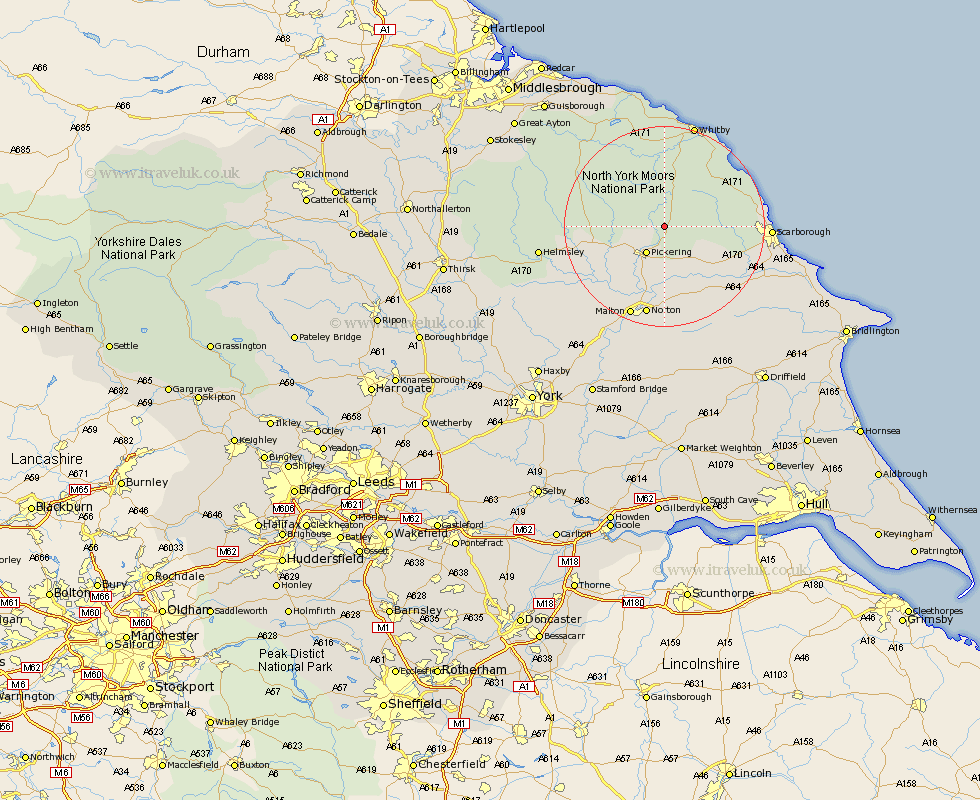
Yorkshire Map Showing Location of Levisham
Population: 85
District: Ryedale
Easting: 483505 Northing: 490153
Latitude: 54.3 Longitude: -0.72
 = Levisham
District: Ryedale
Easting: 483505 Northing: 490153
Latitude: 54.3 Longitude: -0.72
= Levisham
This Levisham map below is supplied by Google. Use the tools in the top left corner to zoom into street level or zoom out for a road map, you may also need to zoom in to see Levisham on the map. Click and drag the map to move around. If the map fails to load try and refresh your browser or zoom in or out (+ or -).
Update - it seems Google no longer allow people to use their maps for free! This Levisham map sometimes loads and sometimes gives a error. I am working on a solution.
Closest 30 Towns or Cities to Levisham (Population over 500)
Pickering 6.44km Thornton Dale 7.42km Thornton-le-Dale 7.42km Snainton 12.68km Yedingham 12.88km Brompton 14.25km Kirkby Moorside 14.54km Kirby Moorside 14.54km Rillington 16.71km Sleights 16.99km Fylingdales 17.59km Norton 18.45km Burniston 18.47km Scalby 18.48km Cloughton 18.75km Nawton 18.84km Hawsker 19.3km Malton 19.5km Scarborough 19.68km Sherburn 19.71km Seamer 19.84km Slingsby 21.15km Whitby 21.49km Willerby 21.65km Eastfield 21.86km Helmsley 23.39km Cayton 23.91km Terrington 26.07km Hinderwell 26.14km Ampleforth 28.27km