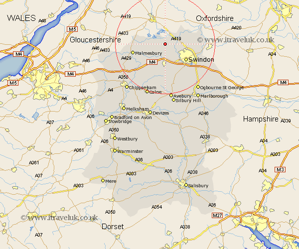
Wiltshire Map Showing Location of Leigh
Population: 409
District: North Wiltshire
Easting: 406922 Northing: 190931
Latitude: 51.62 Longitude: -1.9
 = Leigh
District: North Wiltshire
Easting: 406922 Northing: 190931
Latitude: 51.62 Longitude: -1.9
= Leigh
This Leigh map below is supplied by Google. Use the tools in the top left corner to zoom into street level or zoom out for a road map, you may also need to zoom in to see Leigh on the map. Click and drag the map to move around. If the map fails to load try and refresh your browser or zoom in or out (+ or -).
Update - it seems Google no longer allow people to use their maps for free! This Leigh map sometimes loads and sometimes gives a error. I am working on a solution.
Closest 30 Towns or Cities to Leigh (Population over 500)
Ashton Keynes 2.95km Minety 3.45km Cricklade 3.91km Purton 4.37km Lydiard Millicent 6.02km Blunsdon 7.15km Blunsdon St Andrew 7.15km Blunsdon St. Andrew 7.15km Blunsdon Saint Andrew 7.15km Wooton Bassett 9.27km Wootton Bassett 9.27km Brinkworth 9.39km Swindon 10.46km Stratton Saint Margaret 11.01km Stratton 11.01km Stratton St Margaret 11.01km Stratton St. Margaret 11.01km Crudwell 11.65km Lyneham 12.04km Lea 12.79km Malmesbury 13.2km Malmsbury 13.2km Wroughton 13.74km Highworth 13.81km Somerford 14.79km Great Somerford 14.79km Broad Town 15.01km Broad Hinton 15.53km Christian Malford 16.61km Wanborough 16.64km