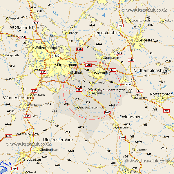
Warwickshire Map Showing Location of Leek Wootton
District: Warwick
Easting: 429546 Northing: 267006
Latitude: 52.3 Longitude: -1.57
 = Leek Wootton
Easting: 429546 Northing: 267006
Latitude: 52.3 Longitude: -1.57
= Leek Wootton
This Leek Wootton map below is supplied by Google. Use the tools in the top left corner to zoom into street level or zoom out for a road map, you may also need to zoom in to see Leek Wootton on the map. Click and drag the map to move around. If the map fails to load try and refresh your browser or zoom in or out (+ or -).
Update - it seems Google no longer allow people to use their maps for free! This Leek Wootton map sometimes loads and sometimes gives a error. I am working on a solution.
Closest 30 Towns or Cities to Leek Wootton (Population over 500)
Warwick 2.18km Royal Leamington Spa 2.27km Leamington 2.27km Leamington Spa 2.27km Hatton 5.67km Kenilworth 5.67km Stoneleigh 6.52km Whitnash 6.52km Shrewley 6.8km Bubbenhall 7.74km Barford 7.76km Bishops Tachbrook 7.76km Rowington 9.25km Baginton 9.33km Claverdon 9.8km Temple Balsall 10.86km Harbury 10.86km Berkswell 12.01km Berkeswell 12.01km Lapworth 13km Long Itchington 13.01km Wellesbourne 13.03km Wellesbourne Hastings 13.03km Allesley 13.03km Coventry 13.03km Brandon 13.54km Bearley 13.55km Snitterfield 13.55km Southam 13.66km Henley in Arden 13.73km