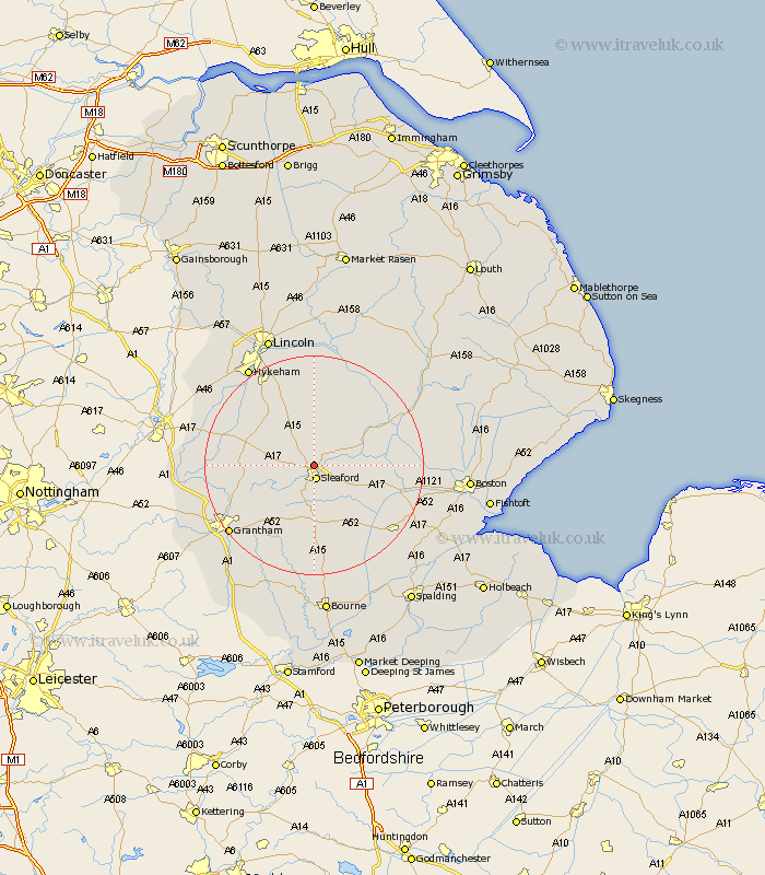
Lincolnshire Map Showing Location of Heasingham
Population: 1520
District: North Kesteven
Easting: 506203 Northing: 347806
Latitude: 53.02 Longitude: -0.42
 = Heasingham
District: North Kesteven
Easting: 506203 Northing: 347806
Latitude: 53.02 Longitude: -0.42
= Heasingham
This Heasingham map below is supplied by Google. Use the tools in the top left corner to zoom into street level or zoom out for a road map, you may also need to zoom in to see Heasingham on the map. Click and drag the map to move around. If the map fails to load try and refresh your browser or zoom in or out (+ or -).
Update - it seems Google no longer allow people to use their maps for free! This Heasingham map sometimes loads and sometimes gives a error. I am working on a solution.
Closest 30 Towns or Cities to Heasingham (Population over 500)
Sleaford 2.64km Buskington 2.89km Ruskington 2.89km Cranwell 3.82km Brauncewell 3.87km Bloxholme 7.41km Bloxholm 7.41km Digby 8.12km Scopwick 9.33km Ancaster 9.59km Welbourn 10.51km Heckington 10.51km Fulbeck 11.3km Navenby 11.42km Billinghay 11.59km Hale 11.61km Great Hale 11.61km Wellingore 12.11km Helpringham 12.13km Caythorpe 12.26km Martin 12.43km Metheringham 13.01km Dunston 14.86km Belton 15.39km Billingborough 15.85km Ropsley 16.28km Nocton 16.68km Folkingham 16.72km Tattershall 17.19km Bassingham 18.25km