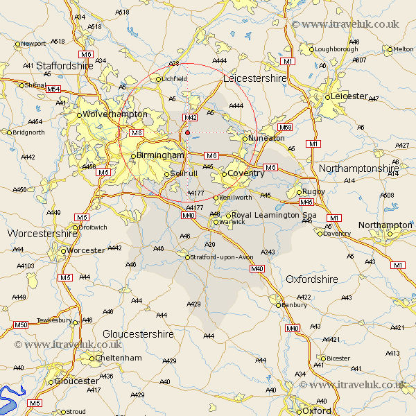
Warwickshire Map Showing Location of Lea Marston
Population: 317
District: North Warwickshire
Easting: 420347 Northing: 292908
Latitude: 52.53 Longitude: -1.7
 = Lea Marston
District: North Warwickshire
Easting: 420347 Northing: 292908
Latitude: 52.53 Longitude: -1.7
= Lea Marston
This Lea Marston map below is supplied by Google. Use the tools in the top left corner to zoom into street level or zoom out for a road map, you may also need to zoom in to see Lea Marston on the map. Click and drag the map to move around. If the map fails to load try and refresh your browser or zoom in or out (+ or -).
Update - it seems Google no longer allow people to use their maps for free! This Lea Marston map sometimes loads and sometimes gives a error. I am working on a solution.
Closest 30 Towns or Cities to Lea Marston (Population over 500)
Kingsbury 2.17km Nether Whitacre 3.38km Coleshill 3.7km Water Orton 4.34km Hurley 4.88km Shustoke 5.84km Middleton 6km Castle Bromwich 6.75km Sutton Coldfield 8.72km Arley 8.72km Bickenhill 9.33km Dordon 9.71km Polesworth 10.03km Atherstone 10.8km Fillongley 10.83km Grendon 11.67km Shuttington 12.46km Meriden 12.47km Mancetter 12.94km Hampton in Arden 12.96km Corley 13.75km Solihull 14.14km Orton-on-the-Hill 14.59km Orton 14.59km Orton on the Hill 14.59km Newton Regis 15.18km Newton 15.18km Berkswell 15.5km Berkeswell 15.5km Austrey 15.8km