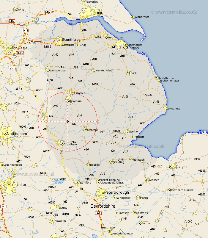
Lincolnshire Map Showing Location of Leadenham
Population: 385
District: North Kesteven
Easting: 494951 Northing: 351276
Latitude: 53.05 Longitude: -0.58
 = Leadenham
District: North Kesteven
Easting: 494951 Northing: 351276
Latitude: 53.05 Longitude: -0.58
= Leadenham
This Leadenham map below is supplied by Google. Use the tools in the top left corner to zoom into street level or zoom out for a road map, you may also need to zoom in to see Leadenham on the map. Click and drag the map to move around. If the map fails to load try and refresh your browser or zoom in or out (+ or -).
Update - it seems Google no longer allow people to use their maps for free! This Leadenham map sometimes loads and sometimes gives a error. I am working on a solution.
Closest 30 Towns or Cities to Leadenham (Population over 500)
Fulbeck 1.86km Welbourn 2.9km Caythorpe 3.87km Wellingore 6.49km Navenby 7.12km Cranwell 8.02km Bassingham 8.13km Ancaster 9.85km Brauncewell 10.03km Claypole 10.2km Aubourn 11.34km Bloxholme 11.74km Bloxholm 11.74km Heasingham 11.74km Leasingham 11.74km Belton 13.02km Sleaford 13.2km Waddington 13.4km Scopwick 13.45km Ruskington 13.5km Buskington 13.5km Swinderby 13.58km Long Bennington 14.5km Hykeham 14.83km North Hykeham 14.83km Digby 14.94km Thorpe on the Hill 15.19km Thorpe-on-the-Hill 15.19km Thorpe 15.19km Metheringham 15.35km