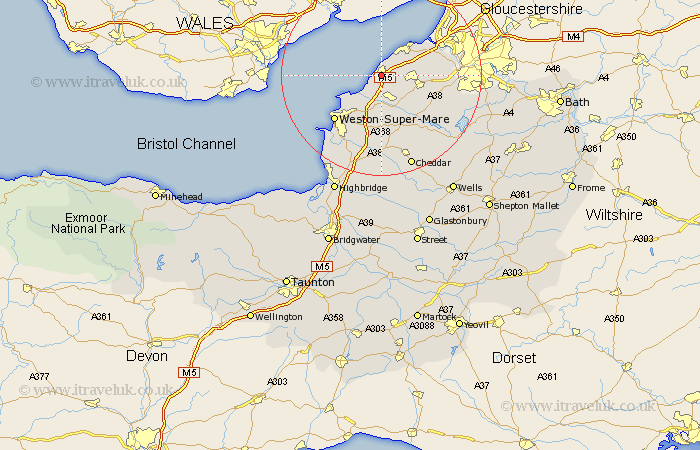
Somerset Map Showing Location of Clevedon
Population: 21252
Area Size (ha): 497
Easting: 340919 Northing: 170874
Latitude: 51.43 Longitude: -2.85
 = Clevedon
Area Size (ha): 497
Easting: 340919 Northing: 170874
Latitude: 51.43 Longitude: -2.85
= Clevedon
This Clevedon map below is supplied by Google. Use the tools in the top left corner to zoom into street level or zoom out for a road map, you may also need to zoom in to see Clevedon on the map. Click and drag the map to move around. If the map fails to load try and refresh your browser or zoom in or out (+ or -).
Update - it seems Google no longer allow people to use their maps for free! This Clevedon map sometimes loads and sometimes gives a error. I am working on a solution.
Closest 30 Towns or Cities to Clevedon (Population over 500)
Weston 5.08km Weston in Gordano 5.08km Weston Down 5.08km Nailsea 5.78km Yatton 6.02km Portishead 6.87km Wick St Lawrence 7.23km Wick Saint Lawrence 7.23km Wick St. Lawrence 7.23km Congresbury 8.18km Wraxall 8.3km Wrington 9.39km Portbury 9.96km Bourton 10.56km Flax Bourton 10.56km Sandford 11.18km Locking 11.36km Churchill 11.65km Banwell 13.02km Weston-Super-Mare 13.09km Long Ashton 13.86km Hutton 14.2km Blagdon 14.47km Winford 14.94km Shipham 15.22km Dundry 15.47km Bleadon 16.37km Axbridge 17.03km Chew Stoke 17.66km Chew Magna 17.8km