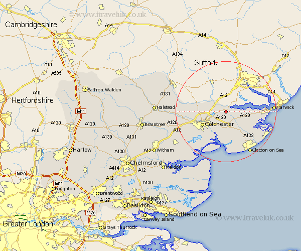
Essex Map Showing Location of Lawford
Population: 4476
District: Tendring
Easting: 608505 Northing: 230482
Latitude: 51.93 Longitude: 1.03
 = Lawford
District: Tendring
Easting: 608505 Northing: 230482
Latitude: 51.93 Longitude: 1.03
= Lawford
This Lawford map below is supplied by Google. Use the tools in the top left corner to zoom into street level or zoom out for a road map, you may also need to zoom in to see Lawford on the map. Click and drag the map to move around. If the map fails to load try and refresh your browser or zoom in or out (+ or -).
Update - it seems Google no longer allow people to use their maps for free! This Lawford map sometimes loads and sometimes gives a error. I am working on a solution.
Closest 30 Towns or Cities to Lawford (Population over 500)
Mistley 3.43km Ardleigh 3.89km Dedham 3.9km Great Bromley 5.56km Bradfield 5.71km Boxted 8.21km Wix 8.82km Thorrington 9.26km Great Bentley 9.54km Alresford 9.88km Winehoe 10.33km Wyvenhoe 10.33km Wivenhoe 10.33km Colchester 10.7km Rowhedge 10.88km Weeley 10.89km Great Horkesley 11.43km Horkesley 11.43km Great Oakley 12.02km Thorpe le Soken 13.02km Fingringhoe 13.07km West Bergholt 13.84km Little Oakley 13.84km Little Clacton 14.67km Brightlingsea 14.82km Parkeston 14.86km Saint Osyth 15.21km St Osyth 15.21km St. Osyth 15.21km Peldon 15.87km