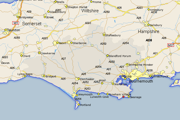
Dorset Map Showing Location of Langton Matravers
Population: 973
District: Purbeck
Easting: 398820 Northing: 77874
Latitude: 50.6 Longitude: -2.02
 = Langton Matravers
District: Purbeck
Easting: 398820 Northing: 77874
Latitude: 50.6 Longitude: -2.02
= Langton Matravers
This Langton Matravers map below is supplied by Google. Use the tools in the top left corner to zoom into street level or zoom out for a road map, you may also need to zoom in to see Langton Matravers on the map. Click and drag the map to move around. If the map fails to load try and refresh your browser or zoom in or out (+ or -).
Update - it seems Google no longer allow people to use their maps for free! This Langton Matravers map sometimes loads and sometimes gives a error. I am working on a solution.
Closest 30 Towns or Cities to Langton Matravers (Population over 500)
Worth 1.18km Worth Matravers 1.18km Swanage 3.53km Corfe Castle 4.39km Studland 6.95km Arne 11.18km Wareham 11.64km Poole 13.03km Holton Heath Station 13.8km Holton Heath 13.8km Bournemouth 16.02km Lulworth Cove 16.57km West Lulworth 16.57km Lytchett Matravers 17.05km Wool 17.08km Winfrith Newburgh 18.49km Winfrith 18.49km Bovington Camp 19.86km Corfe Mullen 20.42km Sturminster Marshall 20.68km West Parley 21.34km Parley 21.34km Bere Regis 21.84km Winterborne Kingston 22.59km Christchurch 23.02km Wimborne 23.47km Wimborne Minster 23.47km Burton 23.94km Fern Down 24.62km Ferndown 24.62km