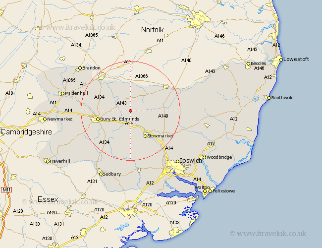
Suffolk Map Showing Location of Langham
Population: 85
District: Mid Suffolk
Easting: 597787 Northing: 269022
Latitude: 52.28 Longitude: 0.9
 = Langham
District: Mid Suffolk
Easting: 597787 Northing: 269022
Latitude: 52.28 Longitude: 0.9
= Langham
This Langham map below is supplied by Google. Use the tools in the top left corner to zoom into street level or zoom out for a road map, you may also need to zoom in to see Langham on the map. Click and drag the map to move around. If the map fails to load try and refresh your browser or zoom in or out (+ or -).
Update - it seems Google no longer allow people to use their maps for free! This Langham map sometimes loads and sometimes gives a error. I am working on a solution.
Closest 30 Towns or Cities to Langham (Population over 500)
Badwell Ash 1.13km Stanton 3.71km Norton 4.34km Pakenham 4.9km Ixworth 4.9km Bardwell 5.04km Hepworth 5.67km Elmswell 5.67km Thurston 6.77km Woolpit 7.41km Barningham 7.42km Bacton 8.15km Troston 8.76km Honington 8.78km Great Barton 9.26km Haughley 9.33km Hopton 9.55km Botesdale 9.69km Gislingham 10.37km Old Newton 10.86km Rattlesden 11.18km Bradfield 11.5km Bradfield St George 11.5km Bradfield Saint George 11.5km Bradfield St. George 11.5km Redgrave 11.5km Rushbrooke 11.71km Mendlesham 11.93km Stowmarket 12.48km Wortham 12.61km