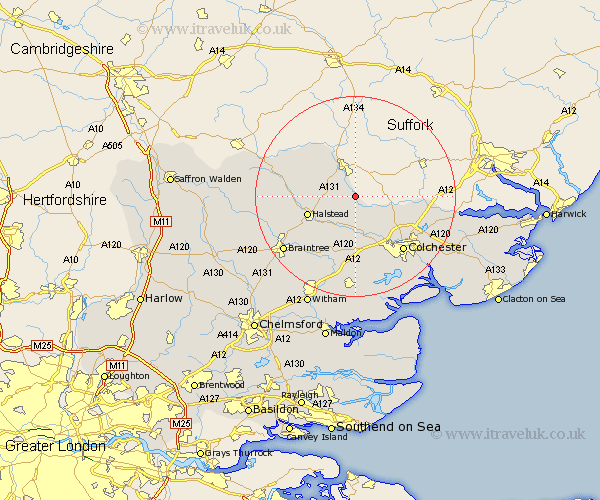
Essex Map Showing Location of Lamarsh
Population: 177
District: Braintree
Easting: 589967 Northing: 235311
Latitude: 51.98 Longitude: 0.77
 = Lamarsh
District: Braintree
Easting: 589967 Northing: 235311
Latitude: 51.98 Longitude: 0.77
= Lamarsh
This Lamarsh map below is supplied by Google. Use the tools in the top left corner to zoom into street level or zoom out for a road map, you may also need to zoom in to see Lamarsh on the map. Click and drag the map to move around. If the map fails to load try and refresh your browser or zoom in or out (+ or -).
Update - it seems Google no longer allow people to use their maps for free! This Lamarsh map sometimes loads and sometimes gives a error. I am working on a solution.
Closest 30 Towns or Cities to Lamarsh (Population over 500)
Bulmer 6.81km Earls Colne 7.2km Chapel 7.41km Chappel 7.41km Wakes Colne 7.5km Fordham 7.75km West Bergholt 8.7km Great Horkesley 8.82km Horkesley 8.82km Great Tey 9.33km Halstead 9.86km Boxted 10.92km Castle Hedingham 11.41km Sible Hedingham 12.69km Marks Tey 13.02km Gosfield 13.74km Coggeshall 14.17km Yeldham 14.19km Great Yeldham 14.19km Colchester 14.4km Copford 15km Stisted 15.15km Feering 15.21km Dedham 15.3km Toppesfield 16.08km Bradwell 16.55km Ardleigh 16.59km Birch 17.03km Kelvedon 17.29km Ridgewell 17.61km