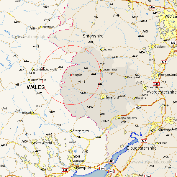
Herefordshire Map Showing Location of Kington
Population: 2175
Area Size (ha): 77
Easting: 330524 Northing: 256283
Latitude: 52.2 Longitude: -3.02
 = Kington
Area Size (ha): 77
Easting: 330524 Northing: 256283
Latitude: 52.2 Longitude: -3.02
= Kington
This Kington map below is supplied by Google. Use the tools in the top left corner to zoom into street level or zoom out for a road map, you may also need to zoom in to see Kington on the map. Click and drag the map to move around. If the map fails to load try and refresh your browser or zoom in or out (+ or -).
Update - it seems Google no longer allow people to use their maps for free! This Kington map sometimes loads and sometimes gives a error. I am working on a solution.
Closest 30 Towns or Cities to Kington (Population over 500)
Lyonshall 2.27km Almeley 6.01km Eardisley 7.5km Pembridge 8.16km Dilwyn 10.39km Weobley 10.88km Eardisland 11.51km Shobdon 11.63km Clifford 12.49km Kingsland 15.77km Wigmore 17.24km Croft 17.42km Credenhill 18.5km Peterchurch 19.09km Luston 19.62km Wellington 19.64km Leominster 19.65km Burghill 20.36km Leintwardine 21.16km Orleton 21.29km Madley 21.75km Moreton-on-Lugg 22.3km Moreton on Lugg 22.3km Moreton 22.3km Bodenham 23.4km Kingstone 23.92km Brimfield 24.26km Sutton 25.32km Allensmore 25.87km Hereford 26.41km