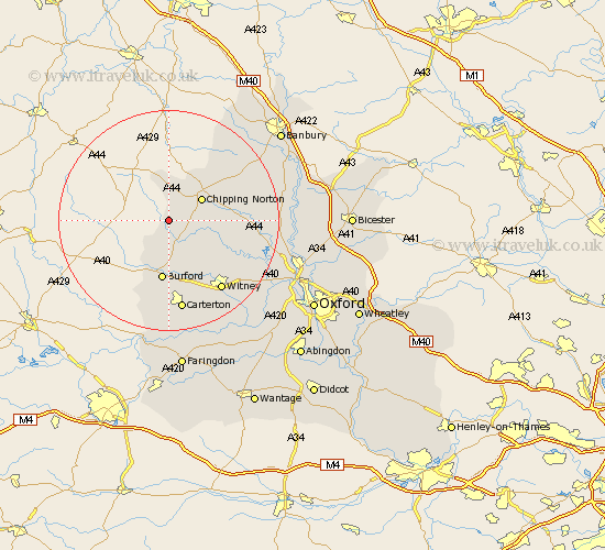
Oxfordshire Map Showing Location of Kingham
Population: 969
District: West Oxfordshire
Easting: 426371 Northing: 222501
Latitude: 51.9 Longitude: -1.62
 = Kingham
District: West Oxfordshire
Easting: 426371 Northing: 222501
Latitude: 51.9 Longitude: -1.62
= Kingham
This Kingham map below is supplied by Google. Use the tools in the top left corner to zoom into street level or zoom out for a road map, you may also need to zoom in to see Kingham on the map. Click and drag the map to move around. If the map fails to load try and refresh your browser or zoom in or out (+ or -).
Update - it seems Google no longer allow people to use their maps for free! This Kingham map sometimes loads and sometimes gives a error. I am working on a solution.
Closest 30 Towns or Cities to Kingham (Population over 500)
Churchill 2.29km Shipton under Wychwood 6.01km Shipton 6.01km Shipton-under-Wychwood 6.01km Chipping Norton 7.02km Chadlington 7.11km Barton 9.26km Leafield 10.89km Charlbury 10.94km Burford 11.18km Enstone 11.58km Minster Lovell 12.51km Hook Norton 13.01km Hailey 14.41km Stonesfield 14.61km Shilton 14.87km Brize Norton 15.22km Witney 15.88km North Leigh 16.8km Carterton 16.83km Ducklington 19.03km Barford St John 19.48km Barford St. John 19.48km Barford 19.48km Barford Saint John 19.48km Hanborough 19.51km Church Handborough 19.51km Duns Tew 19.78km Bloxham 20.43km Bladon 20.52km