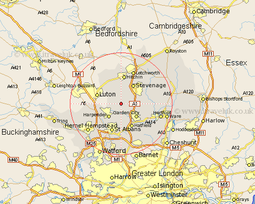
Hertfordshire Map Showing Location of Kimpton
Population: 2147
Area Size (ha): 40
District: North Hertfordshire
Easting: 518228 Northing: 218264
Latitude: 51.85 Longitude: -0.28
 = Kimpton
Area Size (ha): 40
District: North Hertfordshire
Easting: 518228 Northing: 218264
Latitude: 51.85 Longitude: -0.28
= Kimpton
This Kimpton map below is supplied by Google. Use the tools in the top left corner to zoom into street level or zoom out for a road map, you may also need to zoom in to see Kimpton on the map. Click and drag the map to move around. If the map fails to load try and refresh your browser or zoom in or out (+ or -).
Update - it seems Google no longer allow people to use their maps for free! This Kimpton map sometimes loads and sometimes gives a error. I am working on a solution.
Closest 30 Towns or Cities to Kimpton (Population over 500)
Codicote 3.43km Welwyn 4.94km Wheathampstead 5.56km Knebworth 6.87km Harpenden 7.2km Garden City 7.98km Welwyn Garden City 7.98km Offley 8.17km Great Offley 8.17km Stevenage 8.72km Datchworth 9.16km Sandridge 9.33km Aston 9.88km Tewin 9.88km Hatfield 10.05km Redbourn 10.11km Harmer Green 10.28km Great Wymondley 10.33km Wymondley 10.33km Graveley 10.89km Flamstead 10.95km Hitchin 11.18km Pirton 11.35km Markyate 11.6km Markyatestreet 11.6km Saint Albans 11.64km St. Albans 11.64km St Albans 11.64km Bishops Hatfield 12.25km Watton at Stone 12.59km