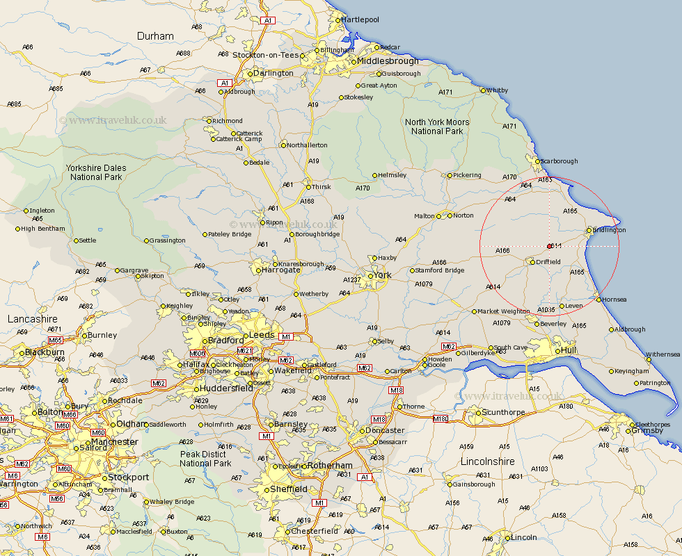
Yorkshire Map Showing Location of Kilham
Population: 1010
Easting: 506921 Northing: 462814
Latitude: 54.05 Longitude: -0.37
 = Kilham
Easting: 506921 Northing: 462814
Latitude: 54.05 Longitude: -0.37
= Kilham
This Kilham map below is supplied by Google. Use the tools in the top left corner to zoom into street level or zoom out for a road map, you may also need to zoom in to see Kilham on the map. Click and drag the map to move around. If the map fails to load try and refresh your browser or zoom in or out (+ or -).
Update - it seems Google no longer allow people to use their maps for free! This Kilham map sometimes loads and sometimes gives a error. I am working on a solution.
Closest 30 Towns or Cities to Kilham (Population over 500)
Nafferton 3.86km Driffield 6.49km Great Driffield 7.06km Beeford 11.34km Bridlington 11.49km Cranswick 11.94km North Frodingham 12km Hunmanby 13.38km Dunnington 13.48km Skipsea 13.49km Wetwang 14.2km Brandsburton 15.45km Brandesburton 15.45km Willerby 15.79km Bempton 16km Sherburn 16.25km Flamborough 17.23km Lockington 18.34km Filey 18.49km Leven 18.82km Cayton 20.38km Tickton 20.41km Eastfield 20.5km Seamer 20.84km Leconfield 21.1km Leckonfield 21.1km Hornsea 21.2km Brompton 22.05km Cherry Burton 22.17km Snainton 23.3km