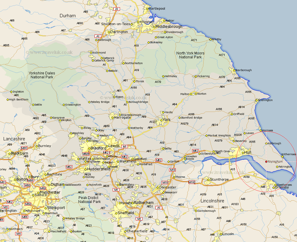
Yorkshire Map Showing Location of Keyingham
Population: 2452
Area Size (ha): 79
Easting: 524318 Northing: 424290
Latitude: 53.7 Longitude: -0.12
 = Keyingham
Area Size (ha): 79
Easting: 524318 Northing: 424290
Latitude: 53.7 Longitude: -0.12
= Keyingham
This Keyingham map below is supplied by Google. Use the tools in the top left corner to zoom into street level or zoom out for a road map, you may also need to zoom in to see Keyingham on the map. Click and drag the map to move around. If the map fails to load try and refresh your browser or zoom in or out (+ or -).
Update - it seems Google no longer allow people to use their maps for free! This Keyingham map sometimes loads and sometimes gives a error. I am working on a solution.
Closest 30 Towns or Cities to Keyingham (Population over 500)
Ottringham 2.19km Thorngumbald 3.78km Thorngumbold 3.78km Burstwick 3.86km Hedon 5.74km Roos 7.08km Burton Pidsea 7.5km Patrington 7.56km Paull 7.9km Preston 9.22km Sproatley 10.25km Withernsea 10.54km Aldbrough 12.98km Walkington 13.7km Kingston upon Hull 14.38km Hull 15.58km Skirlaugh Station 15.66km Easington 15.81km Sutton-on-Hull 16.09km Sutton 16.09km Sutton on Hull 16.09km Wawne 18.95km Cottingham 19.83km Hessle 20.92km Barton upon Humber 20.93km Barton 20.93km Anlaby 21.16km Woodmansey 21.81km Hornsea 22.48km Kirk Ella 22.62km