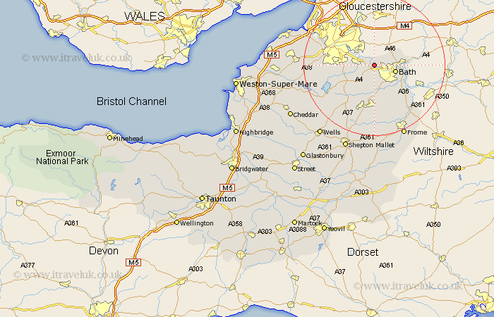
Somerset Map Showing Location of Kelston
Population: 185
Easting: 369858 Northing: 166918
Latitude: 51.4 Longitude: -2.43
 = Kelston
Easting: 369858 Northing: 166918
Latitude: 51.4 Longitude: -2.43
= Kelston
This Kelston map below is supplied by Google. Use the tools in the top left corner to zoom into street level or zoom out for a road map, you may also need to zoom in to see Kelston on the map. Click and drag the map to move around. If the map fails to load try and refresh your browser or zoom in or out (+ or -).
Update - it seems Google no longer allow people to use their maps for free! This Kelston map sometimes loads and sometimes gives a error. I am working on a solution.
Closest 30 Towns or Cities to Kelston (Population over 500)
Saltford 1.16km Keynsham 4.62km Bath 6.07km Compton Dando 6.07km Publow 7.87km Batheaston 8.09km Bathampton 8.31km Farmboro 8.74km Farmborough 8.74km Bathford 9.25km Whitchurch 9.25km Camerton 9.33km Temple Cloud 9.73km Wellow 9.89km Timsbury 9.9km Clutton 10.16km Freshford 11.86km Paulton 12.05km Norton St Philip 13.11km Norton Saint Philip 13.11km Norton St. Philip 13.11km Great Chew 13.25km Chew Magna 13.25km Dundry 13.87km Farrington Gurney 14.72km Kilmersdon 14.82km Kilmersden 14.82km Chew Stoke 14.95km Winford 15.15km Long Ashton 15.47km