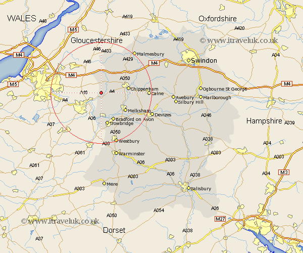
Wiltshire Map Showing Location of Colerne
Population: 2501
Area Size (ha): 320
District: North Wiltshire
Easting: 381464 Northing: 170565
Latitude: 51.43 Longitude: -2.27
 = Colerne
Area Size (ha): 320
District: North Wiltshire
Easting: 381464 Northing: 170565
Latitude: 51.43 Longitude: -2.27
= Colerne
This Colerne map below is supplied by Google. Use the tools in the top left corner to zoom into street level or zoom out for a road map, you may also need to zoom in to see Colerne on the map. Click and drag the map to move around. If the map fails to load try and refresh your browser or zoom in or out (+ or -).
Update - it seems Google no longer allow people to use their maps for free! This Colerne map sometimes loads and sometimes gives a error. I am working on a solution.
Closest 30 Towns or Cities to Colerne (Population over 500)
Box 2.18km Corsham 6.93km Whitley 7.17km Yatton Keynell 7.23km Atworth 7.23km Nettleton 7.42km Broughton Gifford 9.39km Holt 10.35km Chippenham 10.56km Lacock 11.04km Laycock 11.04km Melksham 11.85km Bradford on Avon 12.04km Bradford-on-Avon 12.04km Limpley Stoke 12.04km Semington 12.3km Westwood 13.02km Luckington 13.03km Stanton St Quintin 13.09km Stanton St. Quintin 13.09km Stanton Saint Quintin 13.09km Stanton 13.09km Trowbridge 13.17km Hullavington 13.75km Hilperton 14.2km Sutton Benger 14.71km Sherston 15.23km Seend 15.74km Bremhill 16.28km Christian Malford 16.74km