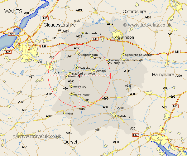
Wiltshire Map Showing Location of Keevil
Population: 432
District: West Wiltshire
Easting: 391869 Northing: 157572
Latitude: 51.32 Longitude: -2.12
 = Keevil
District: West Wiltshire
Easting: 391869 Northing: 157572
Latitude: 51.32 Longitude: -2.12
= Keevil
This Keevil map below is supplied by Google. Use the tools in the top left corner to zoom into street level or zoom out for a road map, you may also need to zoom in to see Keevil on the map. Click and drag the map to move around. If the map fails to load try and refresh your browser or zoom in or out (+ or -).
Update - it seems Google no longer allow people to use their maps for free! This Keevil map sometimes loads and sometimes gives a error. I am working on a solution.
Closest 30 Towns or Cities to Keevil (Population over 500)
Steeple Ashton 2.19km Worton 3.48km Semington 4.37km Seend 4.37km Hilperton 4.63km Erlestoke 5.09km Bratton 5.56km Melksham 5.68km Edington 5.68km Bradford on Avon 6.08km Bradford-on-Avon 6.08km Holt 6.87km Rowde 6.87km Potterne 6.95km Broughton Gifford 7.24km North Bradley 7.88km Trowbridge 8.11km Westbury 8.75km Southwick 8.92km Laycock 9.26km Lacock 9.26km Atworth 9.4km Whitley 9.46km Devizes 9.98km Lavington 9.99km Market Lavington 9.99km Roundway 10.8km Dilton 10.94km West Lavington 10.99km Westwood 11.58km